BLOG: Wettest August Ever!
By Kate Bilo
So now that we've officially had the hottest July on record and the wettest August on record, the chatter in the newsroom on Friday turned to - what's September going to bring us?!
Hopefully it'll be the sunniest September on record in order to counterbalance the nastiness we've seen for the past two months - the furnace-like heat of July followed by the deluge that has been August.
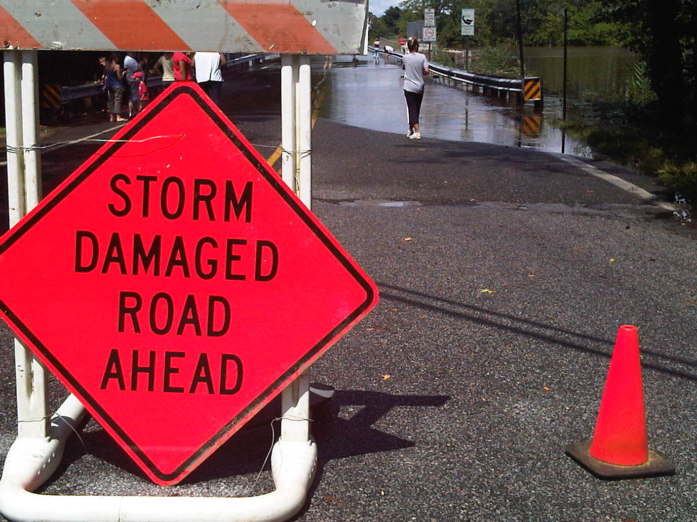
In fact, we only need .08" more rainfall to make August 2011 the wettest month EVER on record in Philadelphia - the previous record-holder is September 1999, when we clocked 13.07" of rain. While heavy rain isn't unusual in the summertime due to the availability of moisture-rich air from the Gulf of Mexico and the heavy afternoon thunderstorms that occur, this amount of rain over a relatively short period of time IS unusual.
The setup has been a series of broad and slow-moving upper-level storm systems that have impacted our area, keeping the atmosphere very unstable and allowing for storms to trigger easily. We have also had a few instances (as with the case of our largest rain event, last Sunday 8/14) of training storms, where the moisture was streaming south to north instead of west to east, allowing the rain to fall over the same areas for a long period of time.
The good news? We've finally cleared out the stormy pattern and high pressure will build through the start of the week, bringing some crisp and comfortable days to the area. Today's high will hover around 82 with a bit of a gusty breeze in the afternoon (and STILL the chance for a sprinkle late in the mountains), but tomorrow looks like the jewel in the crown of this week, with a high near 80 and low humidity - almost a taste of fall!
We'll be tracking Irene through the week as well - some remnants of that tropical system could reach our area by late in the weekend.
