BLOG: Warm To Start The Week
By Justin Drabick
The recent cold weather pattern continues to break down allowing for temperatures to get back to average and even above average at times through the upcoming week. The overall pattern remains active but the cold air has retreated back to Canada. As we head through the first full week of April average highs range in the upper 50s to 60 degrees.
A warm front will advance through the Delaware Valley Sunday night providing some rain showers. Behind the front, strong southwest winds will develop on Monday. This will transport a warm air mass into the mid-Atlantic. After some morning clouds, some sunshine should return and allow high temperatures to make it into the low to mid 70s, away from the water. Areas across central Delaware should see the most sunshine and warmest temperatures. It will be very windy with gusts 40 to 50 mph possible. A wind advisory is in effect for parts of south Jersey and central Delaware on Monday afternoon. The average high temperature for Monday is 58 degrees but we will be a good 15 degrees above that. We won't reach the record high of 80 degrees which was set back in 1892.
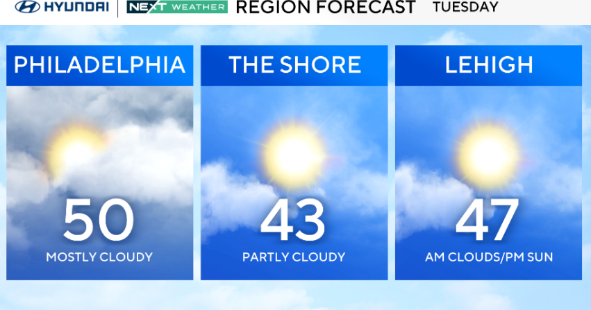
The 70 degree temperatures won't last very long as a cold front will advance through the region on Tuesday morning. Expect rain and possible thunderstorms, especially during the morning on Tuesday. Some storms could even be severe with potential wind damage. The high temperature of 60 degrees for Tuesday will occur early in the morning before falling through the 50s during the day. The cooler air mass will remain in place for Wednesday with highs near average in the upper 50s.
Enjoy the warm temperatures on Monday!
Justin