BLOG: Unsettled Weather
By Kate Bilo
This spring, it seems we're having a hard time stringing together two or three nice days in a row!
And the problems continue this week as more unsettled weather is in the forecast. A weak cool front will move through the region this evening and tonight, and that front will stall and remain over us through the day tomorrow, when another wave of low pressure tracks on through. This means that although today's showers will mainly be limited to areas north and west of the city, tonight and tomorrow feature a better chance for some rain.
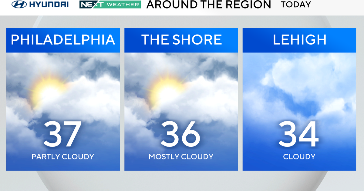
Today's highs will climb into the mid-60s, with some near-70 highs further south. Tomorrow will be slightly cooler with a thicker cloud cover thanks to the front hanging around, so expect a high near 63.
So that stalled cold front? It's going to take on some new characteristics on Wednesday as a strong storm pushes in from the west. Expect it to drift back northward as a warm front, and ahead of the next storm, temperatures should surge to near 80 on Wednesday. The problem? It won't be a sunny, blue-skied 80 - in fact, expect a good deal of cloud cover through the day with the chance of showers and some gusty thunderstorms by afternoon.
Behind this next storm, we'll clear it out and get some sunshine Thursday and Friday, but it will be cooler - temps will struggle to get to normal (low 60s) for the end of the week. It will be breezy as well. Another system brings the threat for showers Friday night into the weekend.
Looking ahead, we could enter into a period of milder, drier weather through the first half of next week, so let's cross our fingers for that! Go Phils! Game-time temperature tonight should be around 64, with a breeze from the south and a small chance of a shower. We'll get the game in.
