BLOG: Too Much Winter, Too Soon
By Carol Erickson
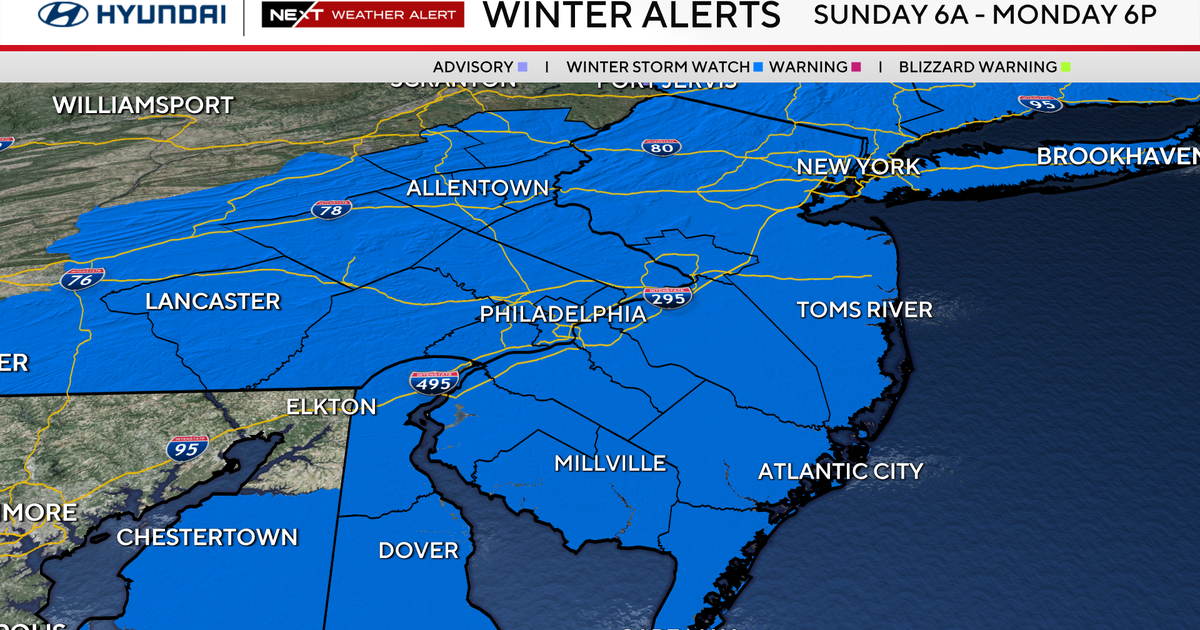
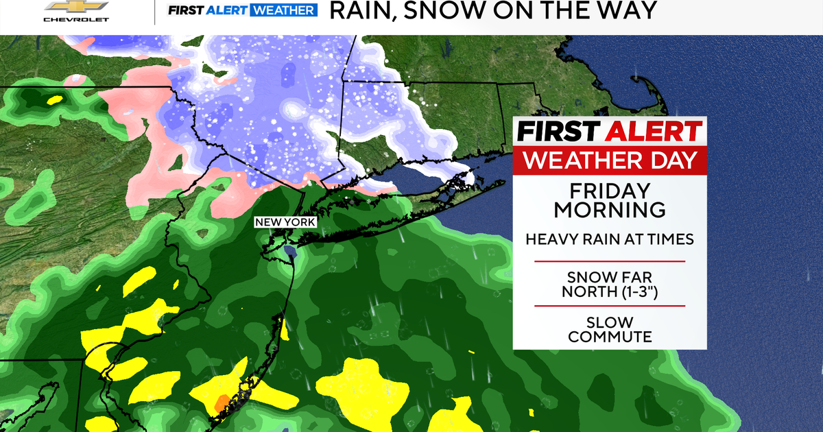
PHILADELPHIA (CBS) -- Three times in a week, snow and ice and rain pelt our tri-state area. This latest storm looks to bring all three precipitation types again today.
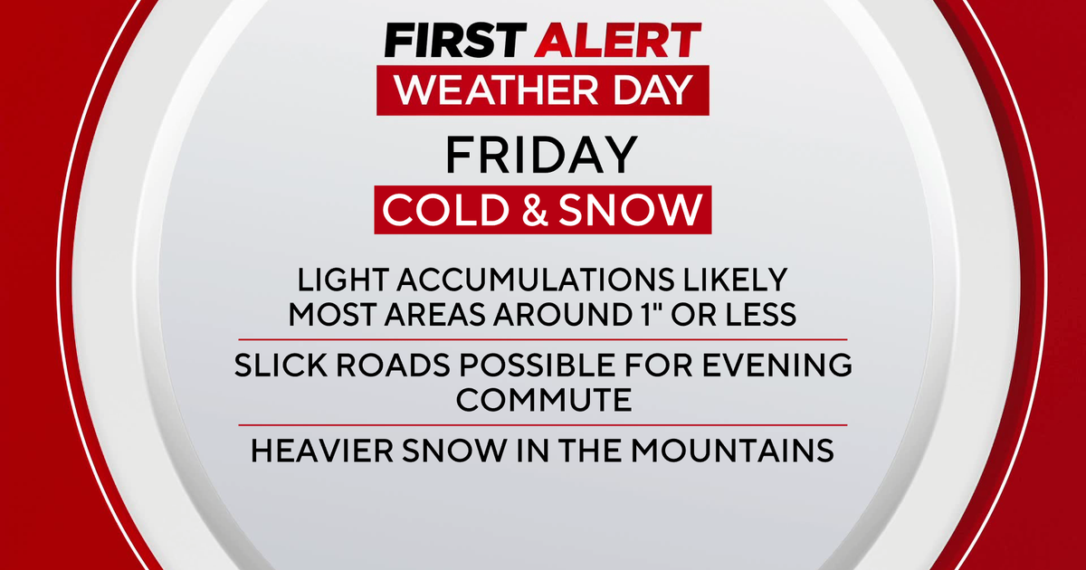
Areas to the north and west of I–95 can expect the most snow, measuring between 2 to 4 inches in Trenton and West Chester to 4 to 8 inches in Berks, Western Chester and Montgomery counties. Areas north and west of that, in the Poconos, will find 5 to 9 inches of snow. Philadelphia and the adjacent suburbs will likely receive between 1 and 3 inches of snow before the change to sleet and rain.
In the most southern sections of New Jersey and Delaware, the precipitation will quickly transition from any snow to all rain as the warmer ocean influence makes its inroad inland. Already by 10 a.m. Saturday the temperature in Wildwood was 43 degrees.
By tonight, as that warmer air struggles northward, areas north and west of Philadelphia can expect to encounter some sleet and freezing rain on top of the snow that will have fallen. With warming air aloft and possibly stubborn cold air at the surface, precipitation types can vary hour by hour.
Drive accordingly, keep warm clothes on and bring those pets inside and out of a cold, wintry, wet day.
