BLOG: The Latest On The Incoming Nor'easter
By Justin Drabick
PHILADELPHIA (CBS) -- As expected, upper-level energy over the southern U.S. is developing a low pressure system off the southeast coast Tuesday morning. The low will continue to intensify and track up the east coast, but how far offshore is still the question.
The trend Monday night was for a track farther offshore with the European and the American GFS forecast models. This would mean the Delaware Valley would be on the very western edge of the precipitation shield; very little rainfall from Philadelphia on westward as dry air would be in place, but it would be colder. That would mean a chance for some wet snow, especially in the northern suburbs. Temperatures 5,000 feet aloft could be cold enough to support snow, but near the surface may be just too warm. The best shot for any accumulating snow would be in the higher elevations on Pennsylvania and New Jersey.
This track would be some good news for the Shore, as the strongest winds would remain offshore. However, winds could still gust over 50 mph with 1-2" of rain, and minor to moderate tidal flooding with the eastern track.
The lack of consistency in the guidance continues Tuesday. The Tuesday morning forecast guidance from two American models (GFS & NAM) have shifted back a bit farther west. This would bring in more moisture father west. Still, upper level temperatures would support snow from southern NJ on north and west, but surface temps would be marginal.
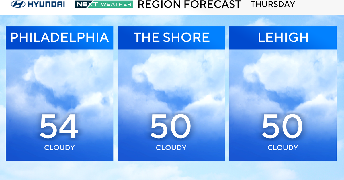
If this track verifies and enough moisture is in place, south NJ on north & west could see some wet snow later Wednesday evening, with little or no accumulation due to the warmer ground. The higher elevations in NJ and Poconos would have a chance at some light accumulation. Any leftover showers or snow showers would end Thursday morning at the storm lifts northeast.
Coastal Flood Watches and High Wind Watches continue from Wednesday morning through Thursday morning. No matter what track the storm takes, the Shore will see the main impacts with wind gusts 50+ mph, 1-2" of rain, and minor to moderate tidal flooding. The times of the high tides of concern are early afternoon on Wednesday and 2-3 a.m. Thursday morning. The earlier the wind switches offshore (northwest) the better, as the flow of wind will push the water back out to seas and end the flooding threat.
