BLOG: Spring Arrives But Winter Hangs On
By Justin Drabick
Spring officially arrived at 7:21 PM Sunday evening. This is when the sun crosses directly over the equator and is called the Vernal Equinox.
The first full week of spring won't really feel like spring as temperatures drop below average for mid-late week. An active weather pattern returns for the Delaware Valley this week bringing some rain chances.
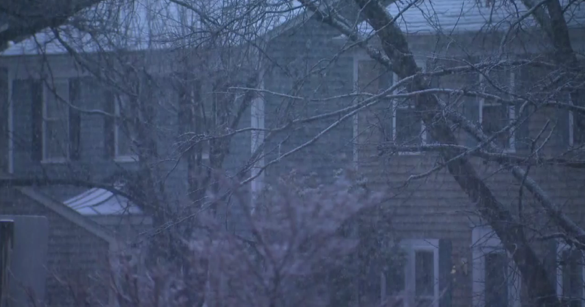
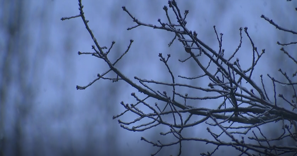
This first chance for rain arrives very early Monday as a warm front approaches. Initially, some wet snow may fall across the Poconos with minor accumulations possible there. Expect periods of rain, especially during the morning.
As the warm front passes to our north, expect the steady rain to become more showery during the afternoon. Winds will increase out of the southwest behind the front, allowing temperatures to make it into the upper 50s, maybe even 60 in some lucky spots. A few peaks of sun are even possible in the afternoon.
If the warm front doesn't make it through, then expect temps in the low 50s. Drier conditions return Tuesday night as a cold front slides through the region and stalls to our south. This will allow for an area of high pressure to building for Tuesday resulting in some sunshine with temps in the mid 50s. Monday and Tuesday will be the warmest days of the week.
The next warm front approaches early Wednesday AM bringing another round of precipitation. Initially some cold air will be locked in at surface so a period of wet snow or sleet could begin initially in areas north of Philadelphia.
Eventually, warmer air will return to the region and allow any frozen precipitation to turn over to rain. Periods of rain will continue throughout the day on Wednesday. It looks like this warm front will remain to our south keeping temperatures only in the 40s for highs. Get ready for a chilly rain on Wednesday. The storm will pass off the coast Wednesday night and intensify a bit.
This will draw colder air in behind the storm system for the rest of the week. A lingering early morning rain or even a snow shower in areas north & west is possible. Dry conditions return for the rest of the week into the weekend with highs remaining below average in the 40s. Average highs for the first week of spring are in the low to mid 50s.