BLOG: February 9th Morning Weather
By: Kate Bilo
A bitterly cold morning across the Delaware Valley will give way to another frigid afternoon - it will feel even worse out there in contrast to the warmth we had at the beginning of the week. But, if you're looking for something to warm you up through the next two cold days, just take a look at the warmth that will begin to spread across the region starting this weekend!
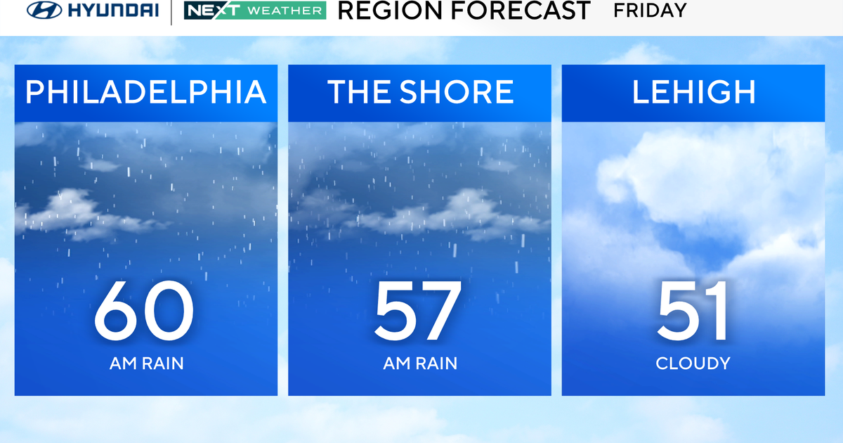
In the near term, winds will continue to gust over 20 mph this afternoon and temperatures today will stay below freezing in many spots, even despite a good deal of sunshine. Wind chills today no better than the teens and low 20's. Tonight, a storm that is bringing another round of snow to the South will begin it's trek toward the East Coast. The good news for us is that this storm will stay mainly to the South, with the sole exception being portions of Southern Delaware and perhaps extreme Southern New Jersey (mainly Sussex and Cape May Counties) where the northern edge of that storm could bring a little snow overnight tonight and into tomorrow morning. Even in these spots, precip looks mainly light and shouldn't be a big deal. Elsewhere, it's dry and cold overnight.
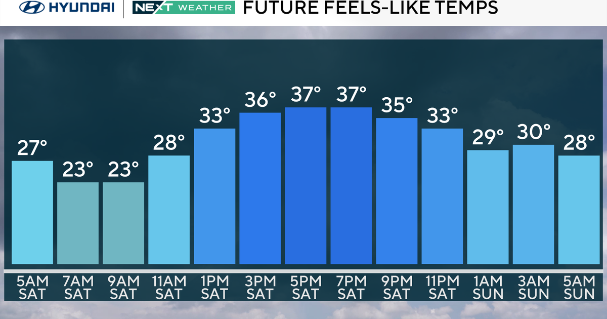
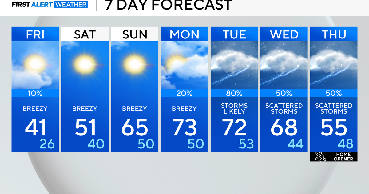
Tomorrow may be the coldest day of the week with daytime highs only in the 20's. But after that, some good news - a period of moderation begins on Friday with highs climbing back close to the 40 degree mark. A seasonable Saturday will give way to a warm trend on Sunday and Monday, when highs should get to the 50's! The last time we were in the 50's here in Philadelphia was during the first two days of 2011. A cold front looks to bring some changes by next Tuesday but until then, a tranquil period of weather - one of the quietest stretches in quite some time. Enjoy the sunshine!
