BLOG: Beyond The February 15 Forecast
Yesterday's high of 62 degrees was the warmest we've been in Philadelphia since December 1st! The warmth surged in from the South ahead of an advancing cold front which then came across the area late in the afternoon, producing strong gusty winds. Today's weather is the direct result of that frontal passage - temperatures will be more than 20 degrees colder than yesterday! Highs will struggle to reach the 40 degree mark, and with the winds still strong, wind chill values will be in the twenties and lower thirties all day!
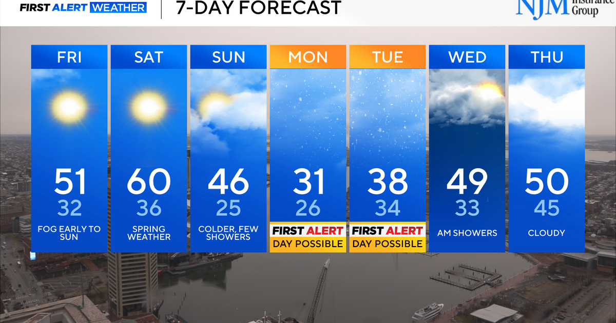
But don't be discouraged! We've been telling you about this one "bump in the road" day, and now the real warmth will be released from the South and surge into our area for the remainder of the week. With a mild southwesterly breeze and a good deal of sunshine, temperatures tomorrow should get right back into the middle 50s.
And it doesn't stop there! Thursday will be a gorgeous day with wall-to-wall sunshine, light winds, and a high of 60. Friday will feature just a few more clouds as a cold front begins it's progression toward the area, but it should be the mildest day of all, with a high of 65 degrees - perhaps even upper 60s in our southernmost areas! It's going to feel like spring has officially SPRUNG!
But not so fast, my friend - a cold front will zip through on Friday night, making a generally dry passage but knocking temperatures back to the 40s with a gusty wind for the weekend. Oh well, the warmth will be fun while it lasts!
Kate Bilo
Morning Meteorologist
CBS3 and CW Philly
