BLOG: April Snow
By Justin Drabick
It's not unheard of to have snow in April and some areas have a chance to see some tonight and tomorrow morning.
The current weather pattern continues to resemble the pattern we have had over the winter. A late season nor'easter will impact the mid-Atlantic and New England as we head into April.
Low pressure currently off the Carolina's will continue to develop tonight and track up the east coast. The storm is not very strong this evening but will really intensify tomorrow. By the time that happens, the storm will be north of us and impact New England the most.
Some areas across New England may receive a foot of snow form this storm system. For the Delaware Valley showers and drizzle will turn into a steadier rain overnight and continue into Friday morning before tapering off. A few showers are still possible during the afternoon as the storm pulls away.
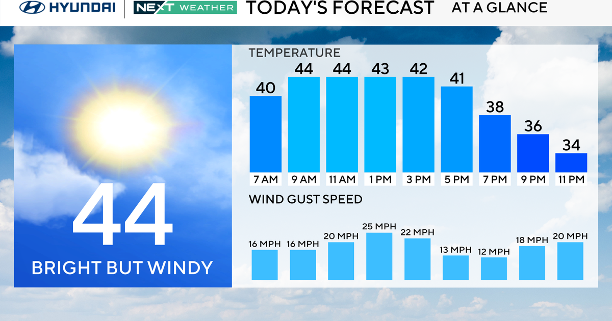
The wind will also pick up and become gusty. Conditions for the Phillies home opener are not the greatest with a game time temperature of 45 degrees.
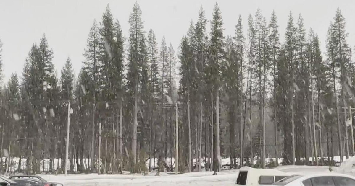
The best chance to see some accumulating wet snow from this storm system is up in the Lehigh Valley and Poconos after midnight. A winter storm warning is in effect for Carbon and Monroe counties until Noon on Friday.
There is a potential for 3-6" of snow in parts of the Poconos. A winter weather advisory is in effect for the Lehigh Valley until 10 AM on Friday. 1-3" of snow is possible in the advisory area. Snowfall amounts will depend on how fast the storm develops which determines how quick the cold air can move in.
The good news, any accumulation that does occur will melt very fast as temperatures get into the 40s on Friday.
