BLOG: Another Snow Storm
By Kate Bilo
Well, after a week of quiet weather it looks like we have another snow event on our hands!
The system that moved through this morning stayed mainly to the north but delivered a good blow of snow to portions of the Lehigh Valley and the Poconos. A secondary low will follow the rough track of the first one, but with colder air trying to nudge in behind the first low, the second storm will dive a bit further south across the Delmarva.
After a cloudy afternoon, a few showers could begin later this evening especially off to the south as the precipitation streaks in, but it will mix quickly over to some snow and sleet and then all snow. It could start snowing as early as 9 p.m., but I think the heaviest will be from about 11 p.m. until 4 a.m. or so.
With the colder air establishing itself, this should be a light fluffy snow with high ratios, but some will melt as soon as it hits the ground so these two factors should cancel each other out a bit.
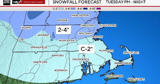
It looks as though a band will set up from Southern PA into the central portion of Delaware, including South Jersey. The heaviest of the snow could set up just to the south of Philadelphia, with some higher amounts possible in cities like Wilmington, West Chester, Millville, etc.
Looking like a general 2-5" band across the region with much lower amounts in the areas that got hit today - probably not more than a coating to an inch or two up toward Allentown/Bethlehem. We need to monitor the exact set-up of this band of snow to determine where the heaviest will fall, and there will be more accumulation on grassy and unpaved surfaces.
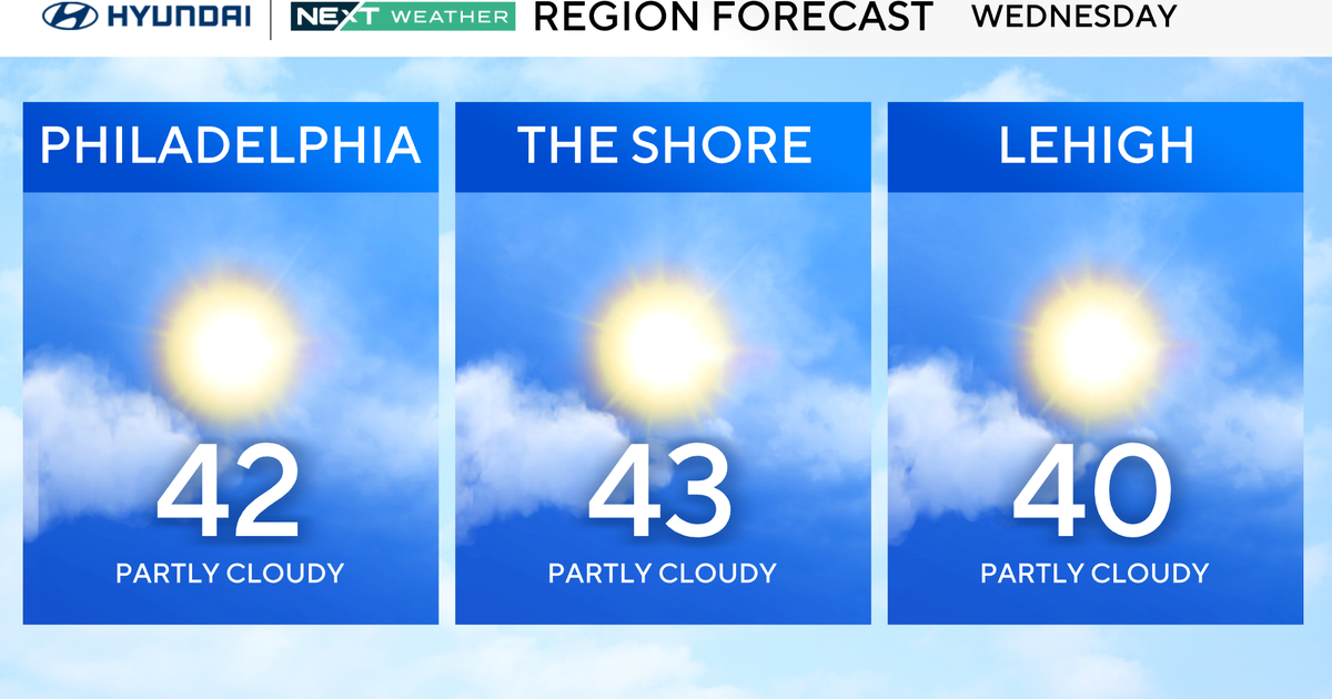
Most of the snow should be over by around 6 a.m., ending from north to south, and then tomorrow will turn out windy and colder with gradually clearing skies and highs only in the middle 30s. A return to winter weather, for sure!