BLOG: A Messy Friday Across The Delaware Valley!
By Kate Bilo
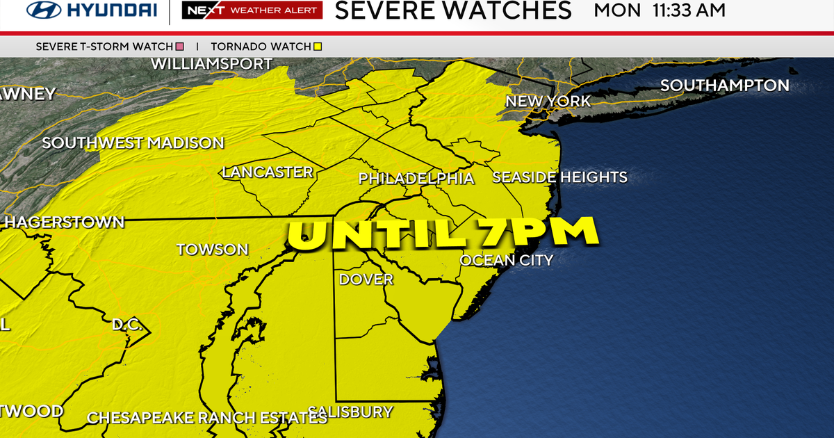
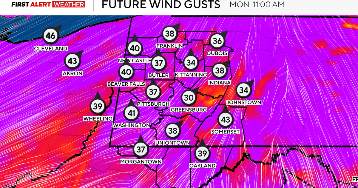
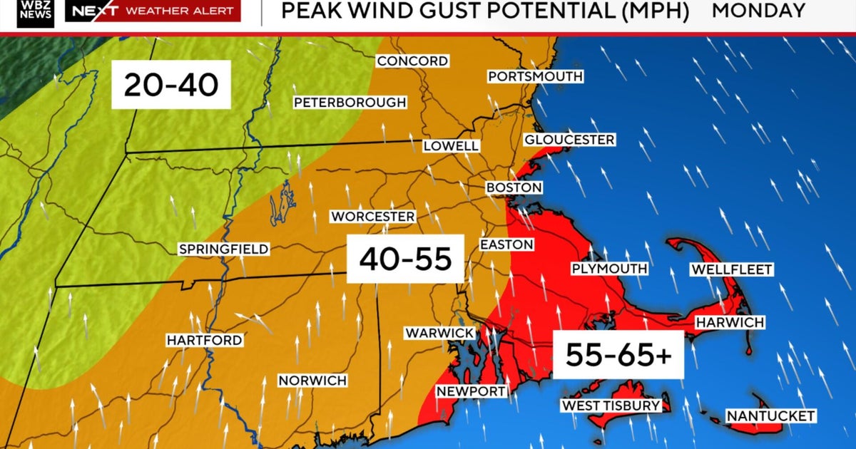
Today features a little bit of everything EXCEPT - you guessed it, snow! We started off the morning with heavy rain in the city and surrounding areas, and even some dangerous icing in the higher elevations of the Poconos. As the morning progressed, winds picked up and temperatures across the southern tier of the region lifted into the 60s. Now, we're waiting for Part II of the storm this afternoon - while Part I featured heavy rain, Part II will be focused on the wind. A strong cold front will cross the area this afternoon and a High Wind Warning goes into effect through the second half of the day. Winds could gust upwards of 50 mph this afternoon, strong enough to bring down tree branches and power lines. Also, we'll have to deal with the threat for isolated strong thunderstorms.
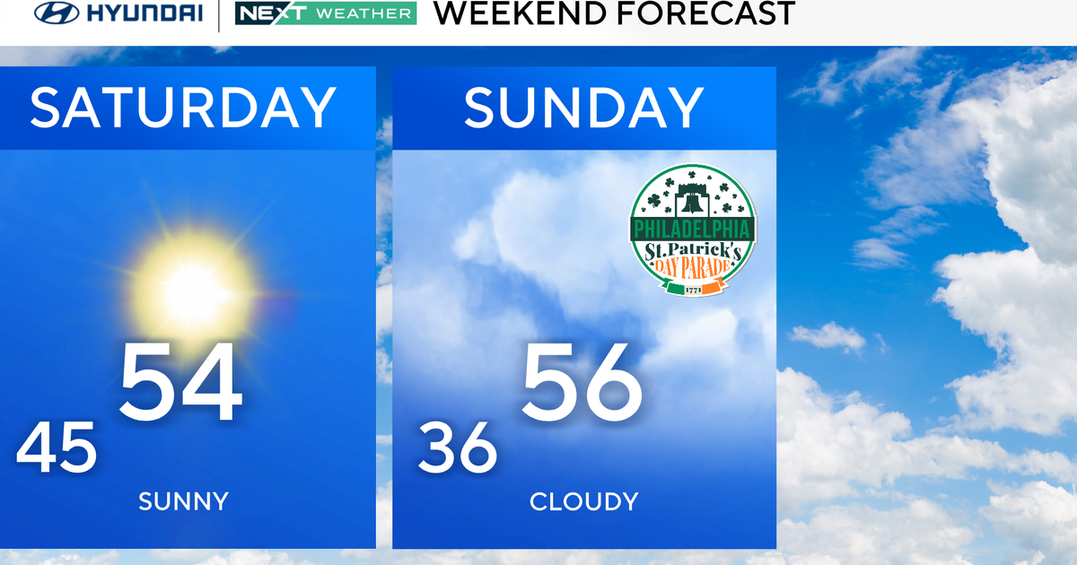
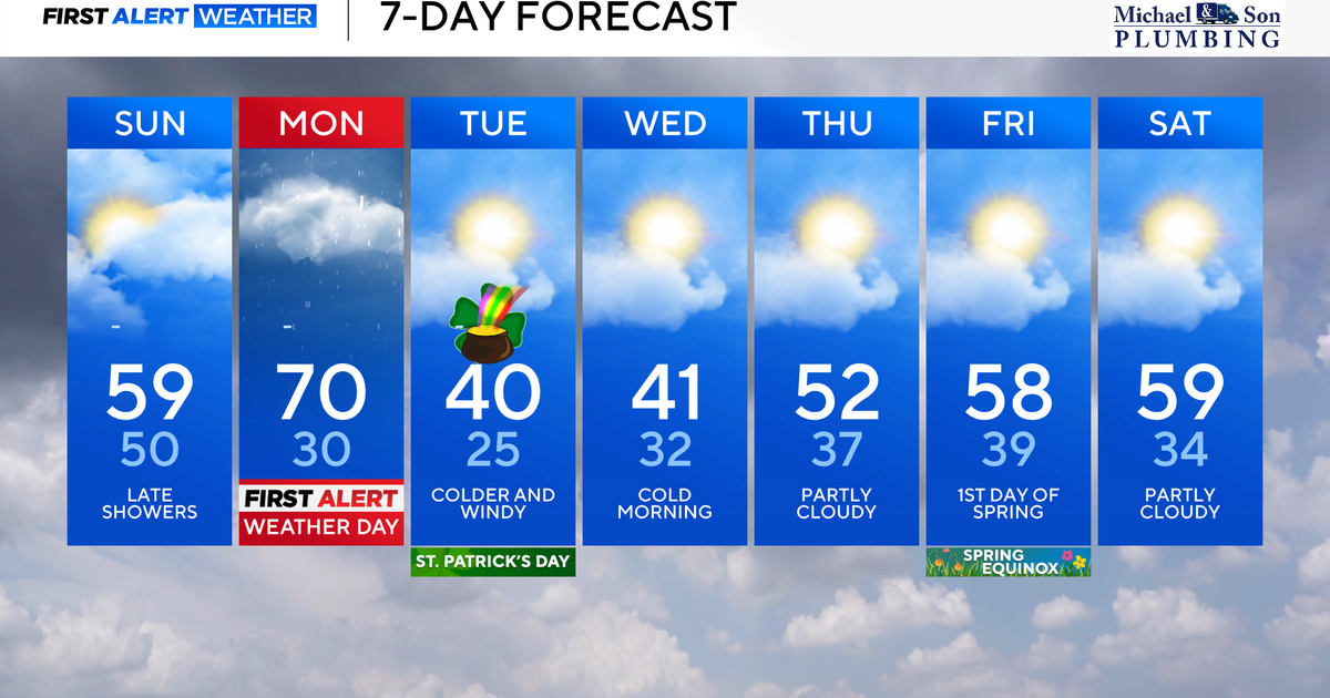
The good news is that the storm clears out pretty quickly - precipitation will be over by the end of the evening commute, if not earlier, and the winds will quickly diminish overnight. Still a breeze tomorrow, and certainly a cooler day, but Saturday will feature sunshine and seasonable highs, in the lower to mid-40s. A warm front will begin to lift toward the region on Sunday, bringing an increase in cloud cover and perhaps a shower or two. Monday will be a very warm day, with highs in the 60s, but unfortunately the warmth will be accompanied by yet another shot of rain.
Finally some quieter, seasonable weather in store for Tuesday through Thursday of next week, with highs climbing to the upper 40s and low 50s and sunshine expected each day. Hang on to those umbrellas this afternoon, though - those winds will be HOWLING like a dog at the moon.
