Blast Of Chilly Air Pushing Out Summer-Like Warmth
By Kate Bilo
PHILADELPHIA (CBS) - We've been enjoying a nice little blast of summer-like warmth here in the first week of October, but that's all about to change this weekend!
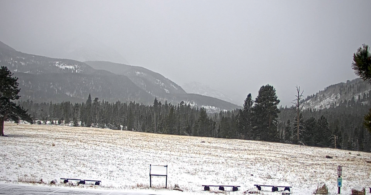
A potent cold front is blasting its way across the eastern two-thirds of the country, and snow has been spotted as far south as Kansas! So while we bask in Friday's mild sunshine, be forewarned that a little taste of winter is on the way. Okay, maybe not true WINTER - but keep this in mind.
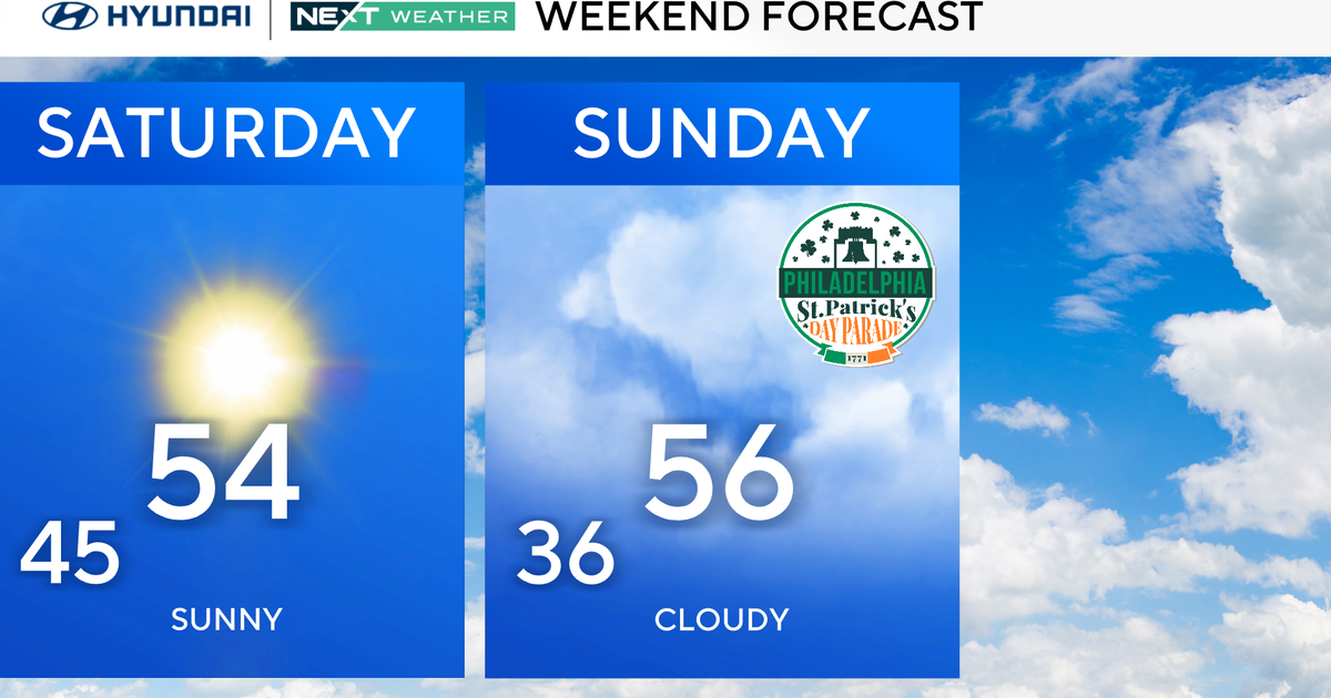
Sunday's highs won't make it past the mid-to-upper 50's - those are the kind of daytime highs we normally experience in late March, and again in mid-November. So the blast of chilly air will certainly be unusual for early October, just like today's August-style warmth is unusual!
The good news is that the cold blast is relatively short-lived. The actual cold front will begin to meander through the area later Saturday, but it doesn't have a lot of moisture to work with, so just a stray shower or t-storm. Sunday is the day that the cold arrives in full force, and we'll also greet the arrival of a new storm system which will bring rain to the area - a double whammy of nasty weekend weather.
By Columbus Day Monday, temperatures will rebound a bit, but it does look to stay on the cool side early next week - normal highs for this time of the year are in the low 70's, but it looks like the 60's are the place to be for much of next week.
My point? If you're a fan of warm weather, get outside and enjoy this Friday!
