Another Blast of Cold Could Bring Snow to Northeast
PHILADELPHIA (CBS)--Wild weather to start March with huge temperature swings - and as we approach our next downward swing by the weekend, we'll be watching for the possibility of some snow across the area.
After a quiet winter with above average temperatures and below average snowfall, maybe this is Mother Nature's way of saying "better late than never"?
OVERNIGHT
First, we've got some showers and storms to weather as we head through the overnight hours.
A line of showers with embedded thunder will cross the Delaware Valley in the early morning hours on Wednesday, but then skies will clear quickly.
Wednesday and Thursday will be mostly sunny and above average, temperature-wise, but both days will feature strong gusty winds over 30mph and an enhanced risk of wildfire spread.
COLD BEGINS TO POUR FROM THE NORTH
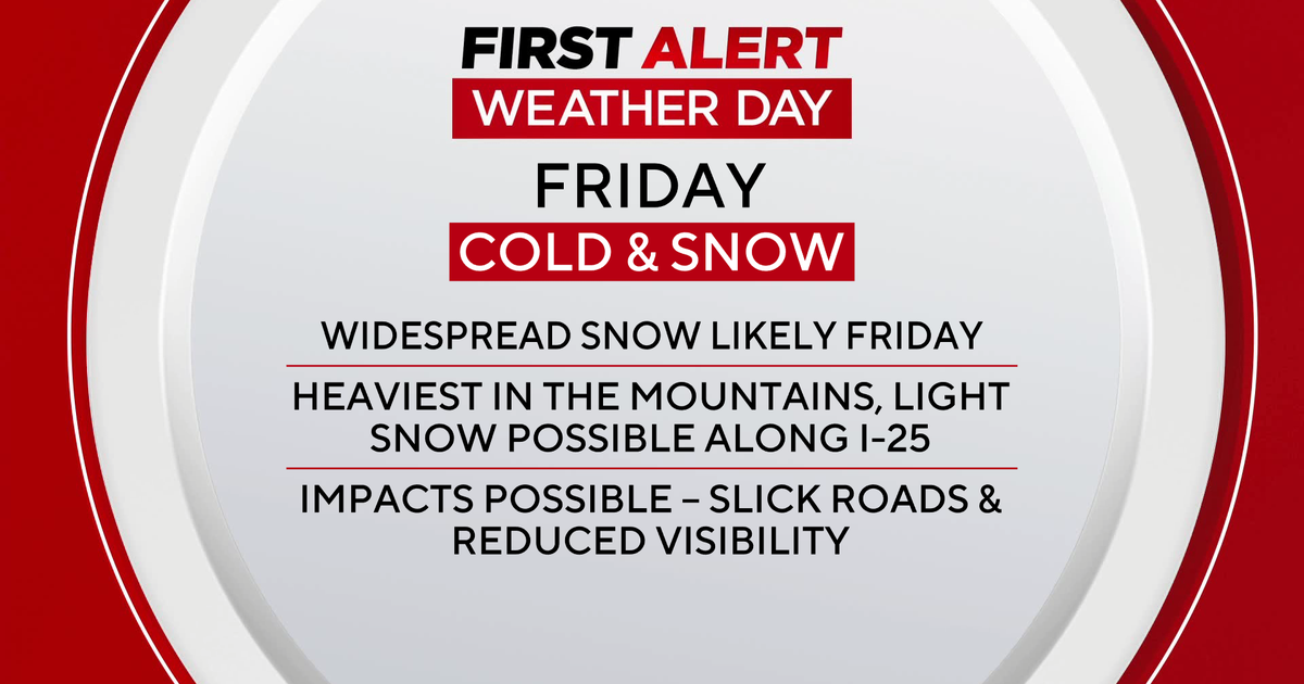
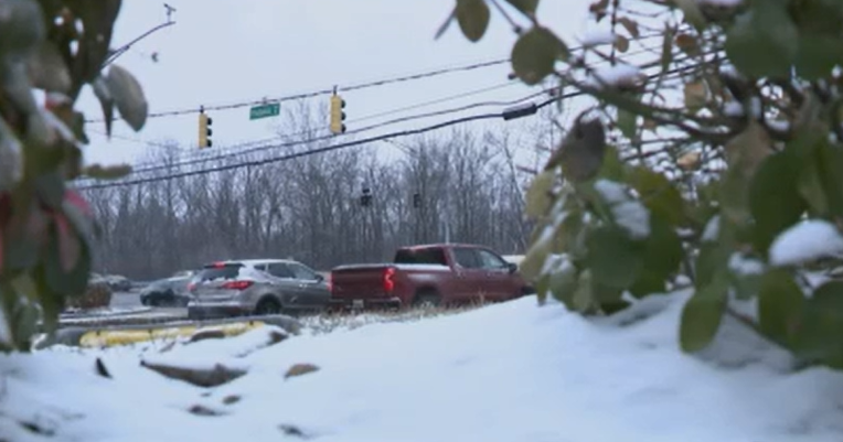
Thursday night into Friday morning the cold begins to pour in from the north, and a clipper will ride along the boundary, bringing rain and snow to the area.
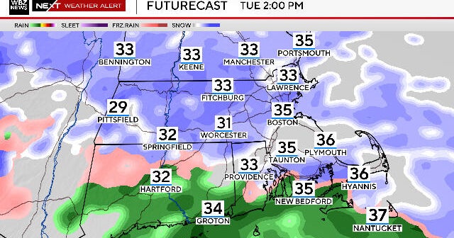
A lot depends on the timing of both the clipper and the arrival of cold air, but it looks likely that precipitation could begin as rain overnight Thursday night and then change to a period of snow Friday morning. In our northernmost suburbs where the cold will arrive more quickly, precipitation may be mainly snow.
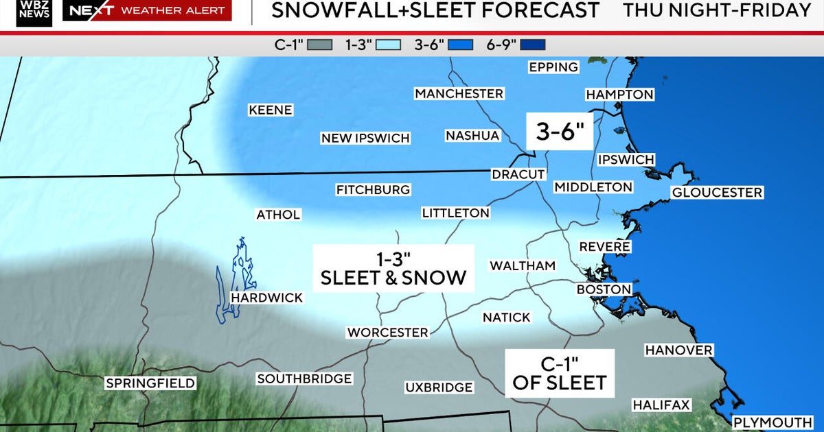
Coming as it is on the heels of a stretch of above-average warmth, I don't expect big accumulations from this system. We'll have to finesse the numbers as we head into tomorrow and Thursday but it looks likely that areas around the city may see a grassy coating, while a couple of inches could fall further to the north. Accumulations again mainly in grassy areas.
ANOTHER BLAST OF ARCTIC COLD
Behind that system, another blast of arctic cold will arrive for the weekend, with temperatures stuck in the 30's Saturday through Monday.
This past weekend, many of the weather models began to catch on to a strong signal for a winter storm for the Sunday time frame. But there's always a danger in forecasting too far ahead, as things can and often do change. Yesterday afternoon and today, we saw the models pick up on a clear southward trend with this storm - one that makes sense considering we've got a large cold high to the north and cold air filtering in that will try and suppress the storm.
SUNDAY STORM
As of now, the Sunday storm looks to miss our area to the south. However, all it takes is a small shift north on the high, or for the storm to be allowed to take a turn and track up the coast a bit more this weekend to put us back in the threat zone for snow. There's still a lot of time for things to shift between now and then, so stay tuned and we'll keep you updated.
