Another Blast Of Arctic Air Set To Pummel The Region
PHILADELPHIA (CBS) - Multiple low pressure systems are set to move through the region starting today with a potent cold front that should sweep across the Philly region in the early part of the afternoon.
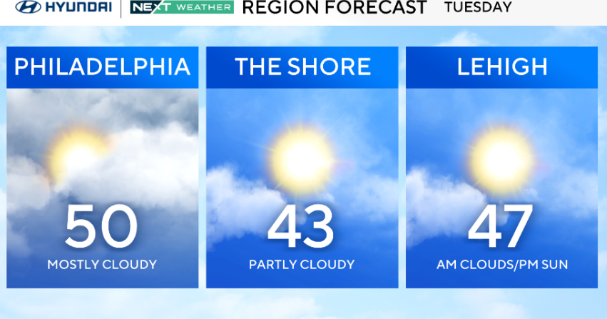
As the front works across the area, it should remain warm enough in Philadelphia as well as South Jersey and Delaware that any precipitation that we see should fall only as rain, and should also be relatively scattered in nature.
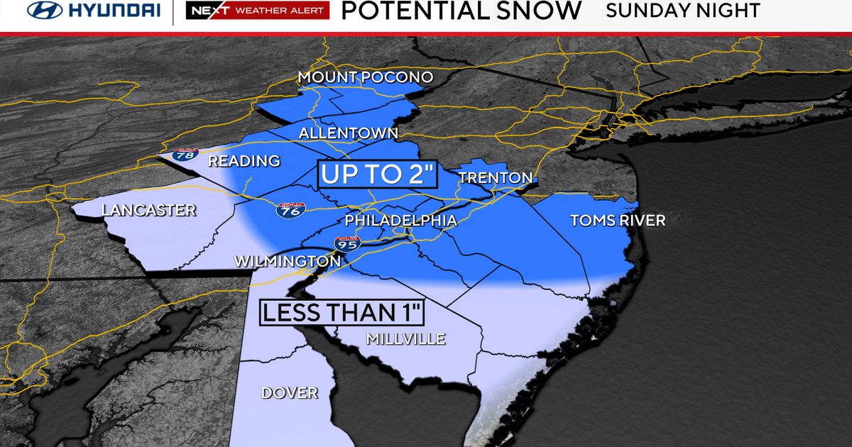
However, as you work north from Philly, the colder air will be a little more prevalent so we could see a coating of a slushy mix of rain and snow for areas through the Lehigh Valley. Parts of the Poconos could except maybe 1-2" of snow before the day is all said and done. in general this first front should not do much to really cause much of an issue for the daytime hours on Tuesday. The bigger threat of nasty weather comes starting tonight and lasting into Wednesday on the backside of the cold front.
Starting tonight temperatures will start to plummet and we are looking at lows that could fall to as low as 10° in parts of the Poconos and we are likely to sit in the lower 20s and teens in the Philly metro and surrounding suburbs. The winds are going to be very strong behind the front as well, with gusts tonight and early on Wednesday as high as 30 mph or even higher along some of the shore points in New Jersey.
This means we are going to watch for wind chill values on Wednesday morning that will be feeling below 0 in Poconos on Wednesday morning, as low as 0 even in Philly and only slightly better in the 10-15 range as you move farther south into southern Delaware and out toward the Jersey Shore. Make sure you are bundling up tomorrow morning as frostbite can set in extremely fast when we are dealing with this type of cold, sometimes as quick as 30 minutes.
Another quick hitting Clipper system then is forecast to slide through the region on Thursday, allowing for another quick dose of snow, with the best chance for accumulating snow at this point to be in the Lehigh Valley and the Poconos with only a small chance for some accumulation on grassy surfaces in the Delaware Valley. One final system could again be near the area on Friday allowing for once more another dose of flurries or snow showers to end the week.
Stay warm everyone!!
