A Snowy, Soggy First Day Of Spring
By Geoff Bansen
PHILADELPHIA (CBS) -- A storm bringing snow and rain has now moved into the Delaware Valley.
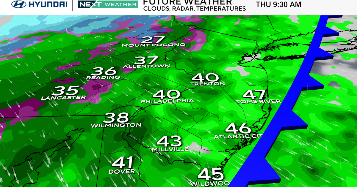
The current snow-rain line is extending SW to NE through Delaware and Southern NJ. As temperatures fluctuate throughout the day, the exact placement of this line will change. Timing-wise, snow will continue through the afternoon, even becoming heavy at times. Much of southern NJ and DE can expect less than an inch as warmer air changes the snow over to rain, while the I-95 corridor will receive 1-3" of snow with some mixing later today. Philadelphia's exact amount will depend on when and if any mixing occurs. 3-6" is possible in the Lehigh Valley and across the higher elevations of the Poconos. Precipitation will gradually end from west to east this evening, between 6 and 9 p.m.
The majority of these accumulations will occur on surfaces such as grass, bushes, buildings, and stationary cars. Being that this will be a wet snow, roads will generally just become slick and slushy. As we've said all along, this is more of a nuisance storm than anything. Any snow from today will likely melt away on Saturday, with highs around 50 under partly sunny skies. We can't rule out a quick passing shower north of the city tomorrow, as a weak cold front moves through that will knock temperatures back into the 40s for the next several days.
We can only hope that this turns out to be winter's last snowy gasp as we enter spring at 6:45 this evening. The below average temperatures for the upcoming week, however, say otherwise.
