A Little Spring Snow on the Way
By Justin Drabick
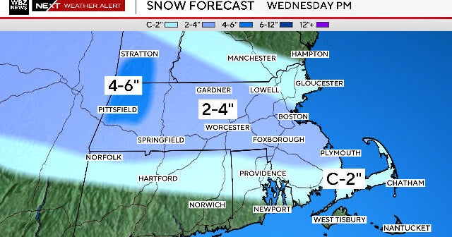
PHILADELPHIA (CBS) -- A spring storm will bring more snow Tuesday, as cold air stays in place. This storm will impact New England the most, and bring minor impacts to the Delaware Valley. Right now the storm is in two separate pieces and will not start to fully develop until Tuesday, as a disturbance from the Midwest phases with a southern jet stream disturbance. These two separate pieces will form a large low pressure systems during the day on Tuesday. As the storm intensifies Tuesday night, it will become a very strong Nor'easter for eastern New England with heavy snow and wind. The good news is, there are signs of a pattern change for late week allowing for Spring temperatures to return and continue next week.
Timing:
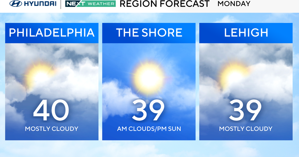
Expect a mixture of rain & snow showers to arrive from 3-6pm on Tuesday. (Some light rain and snow could break out ahead of this north and west of Philadelphia) Temperatures will be above freezing at the surface so no accumulation is expected. As the sun sets, a changeover to all snow will continue from around 6pm to Midnight. This is the time for the best opportunity for accumulating snow. The snow should begin to taper off just after midnight with a few snow showers possible overnight. Sunshine returns for Wednesday but it remains windy and cold, with wind gusts to 35 mph.
Amounts:
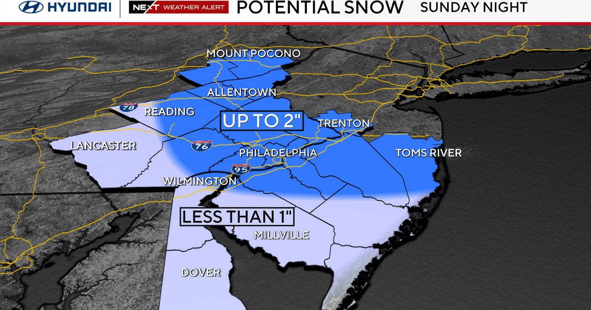
Expect 1-3" of snow, with higher amounts of 2-4" near the coast with the best chance of accumulating snow at night. Wing gusts to 40 mph are possible along the coast later Tuesday night as the storm intensifies. However, the storm will not form until Tuesday so a slight shift in track or speed in formation could still change snow amounts either way.
Justin Drabick
