This month is now the wettest June on record in Denver with more thunderstorms on the way
Severe thunderstorms on Wednesday produced enough rain to set a record for the date and for the month. More thunderstorms Thursday afternoon could cause more damaging hail, more damaging wind, and more heavy rain.
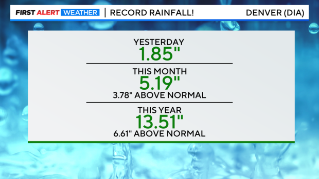
The official rain gauge for Denver located at the airport measured 1.85 inches of rain Wednesday which is record for June 22. The previous record was only 0.85 inches from 1947.
RELATED: Hail batters concertgoers at Red Rocks, seven hospitalized: "All of a sudden, boom!"
The rain on Wednesday was also enough to push the total for the month over 5 inches which is record for June. With 9 days to go, Denver has now measured 5.19 inches of rain in June. The previous record for the entire month was 4.96 inches from 141 years ago in 1882.
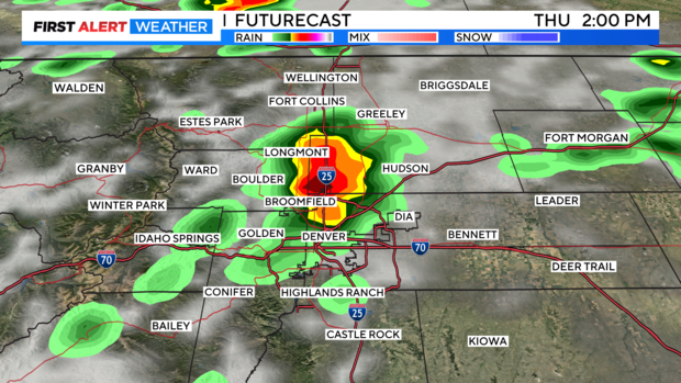
The thunderstorms coming Thursday afternoon will likely cause more heavy rain and could be severe. The storms should start earlier than the storms on Wednesday and should end earlier as well. Some weather models have the start time for the metro area around 1-2 p.m. and the end time before sunset.
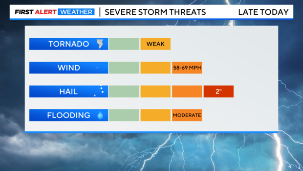
Hail at least 1 inch in diameter will be the greatest hazard Thursday afternoon but damaging wind, heavy rain and flooding, and a weak tornado or two are also possible.
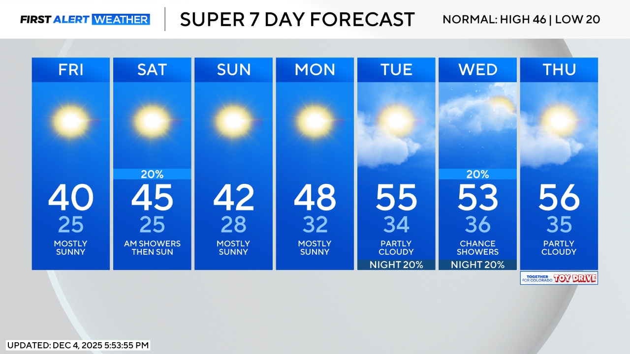
Much drier weather will return on Friday with only a few isolated thunderstorms expected on the Eastern Plains late in the day. Denver and the Front Range will be mostly sunny and warmer on Friday. Similar weather is expected through the weekend and into early next week.
