Hail piled up like snow in Estes Park during Wednesday night's storm
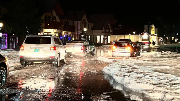
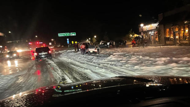
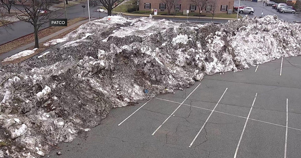
Hail piled up like snow in Estes Park during the severe storm that rolled through Colorado on Wednesday night. The storm hit one neighborhood in Estes Park, trapping cars in the street and leaving standing water.
The hail was so deep the city used heavy equipment to clear the street. A number of basements also flooded.
The storm caused damage in other parts of the state, including flash flooding and hail damage to homes, businesses and vehicles.
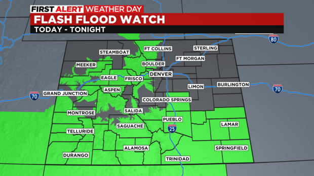
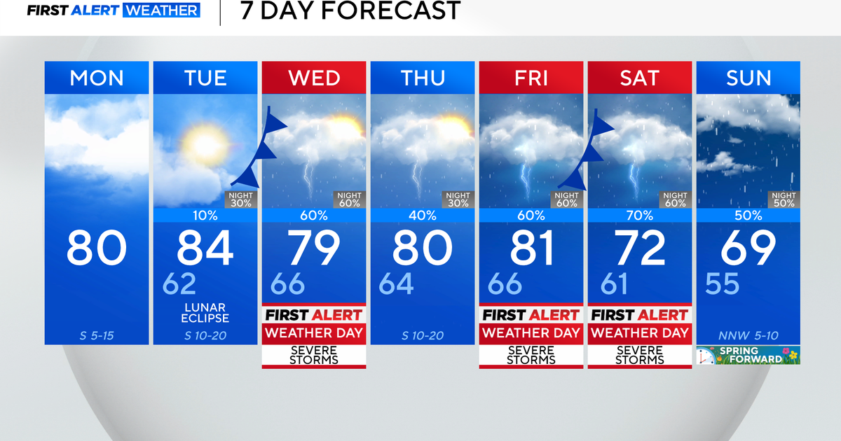
On Thursday, the First Alert Meteorologists have declared a First Alert Weather Day because of the danger of flash flooding from severe storms. There is a Flash Flood Watch for about three quarters of the state from late morning through late evening on Thursday. The watch includes the entire I-70 mountain corridor and all of southern Colorado.
The large scars left behind by recent wildfires like East Troublesome, Camron Peak, and Grizzly Creek have an "elevated" threat for flash flooding. I-70 through Glenwood Canyon could be forced to close if thunderstorms move near the Grizzly Creek scar.
For Denver and the Front Range, the best chance for thunderstorms producing heavy rain and possible street flooding on Thursday will be after noon and before midnight.
