Denver Winter Storm: Blast Of Cold Arrives Late Tuesday, Snow Follows 24 Hours Later
READ NEW DENVER WEATHER UPDATE POSTED ON WEDNESDAY MORNING: Incoming Snow Will Bring Winter Driving Conditions For The Wednesday Evening Commute
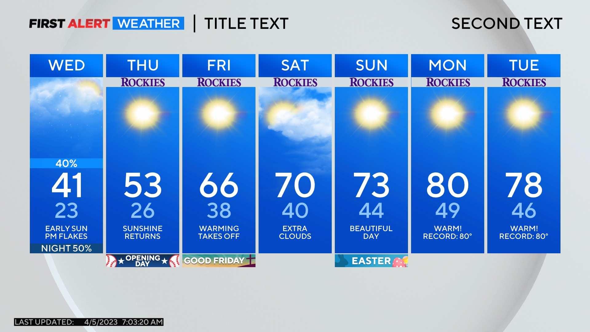
DENVER (CBS4) - A cold front racing toward Colorado will bring an abrupt end to spring-like weather. After high temperatures near 60 degrees on Monday and Tuesday, temperatures will be 25 degrees colder on Wednesday with a good chance for snow late in the day.
It will be warmer across the southeastern plains of Colorado on Tuesday with high temperatures approaching 70 degrees in Lamar and Springfield. In Denver, it will be the warmest 2-day stretch in the city in about three weeks.
The cold front will arrive no later than 6 p.m. Tuesday with sharply colder temperatures arriving overnight. The Denver area will be lucky to spend a few hours above freezing on Wednesday.
In terms of snow, the mountains will see snow return during the afternoon on Wednesday. Most snow should wait until after 4 p.m. in the metro area. Then snow will become likely along the Front Range between about 5 p.m. and midnight on Wednesday.
Because the snow is being caused by upslope (easterly wind hitting the foothills and being forced upward), there will likely be a stark gradient when it comes to snow totals. Locations in the foothills of Jefferson, Boulder, and Larimer Counties between about 6,500 feet and 8,500 feet will likely see at least 4-9 inches of snow. Amounts will be less below 6,500 feet with most of the Denver, Boulder, and Fort Collins areas getting 2-5 inches. The higher amounts will be west of I-25. Locations east of E-470 and DIA will likely get a trace to 1 inch.
Elsewhere around the state, the heaviest snowfall will likely be in the Sangre de Cristo Mountains. La Veta Pass could easily receive at least 10 inches of snow. The Colorado Springs and Pueblo areas may also get more snow than Denver since the storm will track across southern Colorado and northern New Mexico.
The last of the snow in the Denver metro areas should fall before daybreak on Thursday.
Colder than normal weather will then dominate the forecast through the weekend. The chance for light snow will continue in the mountains for the end of the week but Denver and the Front Range should be dry Thursday, Friday, and likely Saturday as well.
