Denver Weather: More Afternoon Storms, A Few Could Be Strong To Severe
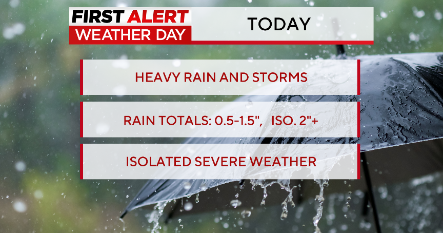
DENVER (CBS4) - Get ready for another active weather day around Colorado with an ongoing chance for showers and thunderstorms in the mountains, the Denver metro area and on the eastern plains. It's all part of a weather pattern that will stick around through the middle of the week.
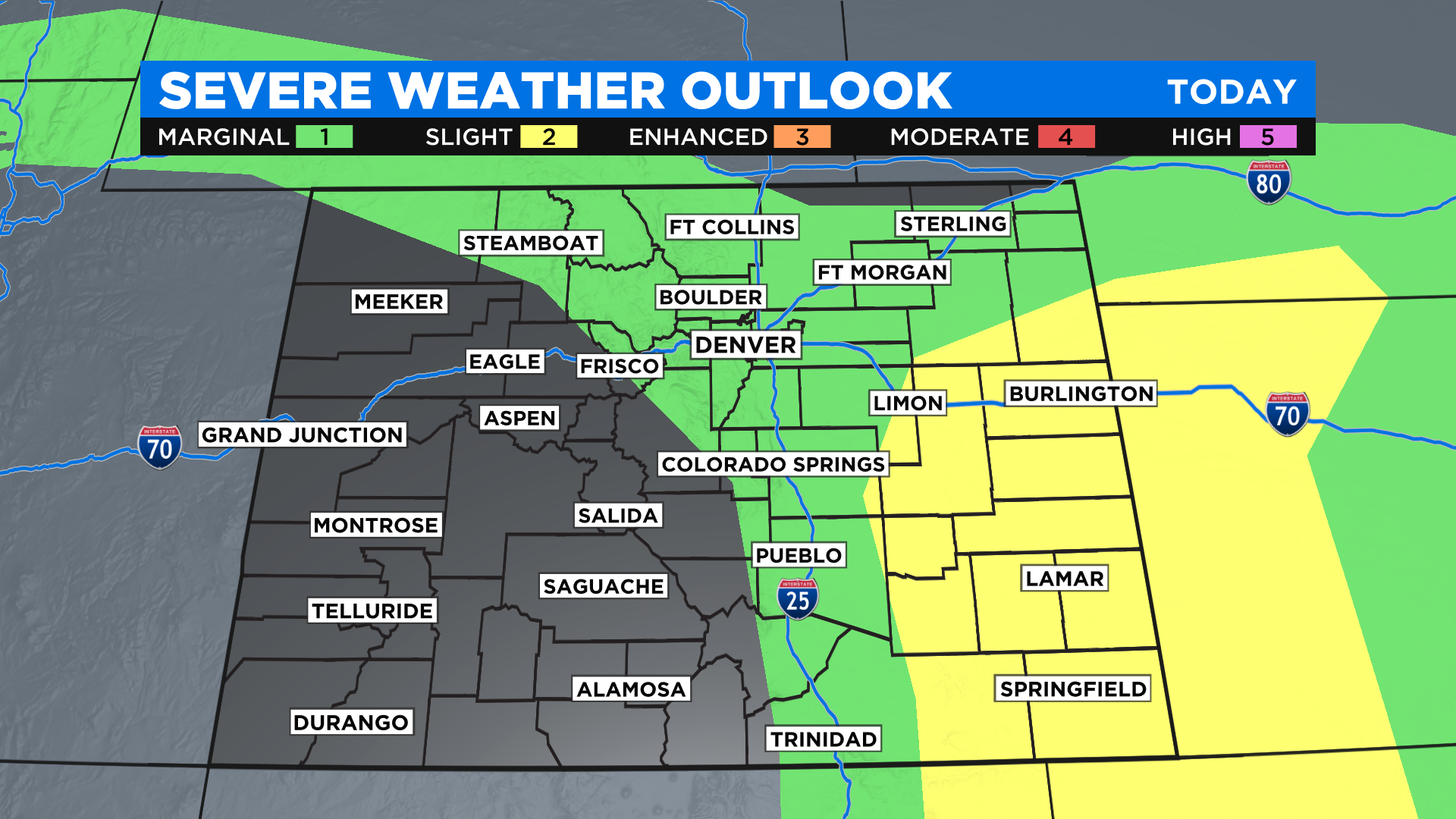
We have another chance to see some strong to severe thunderstorms by this afternoon and evening. Much like we saw on Saturday the highest risk area is on the eastern plains.
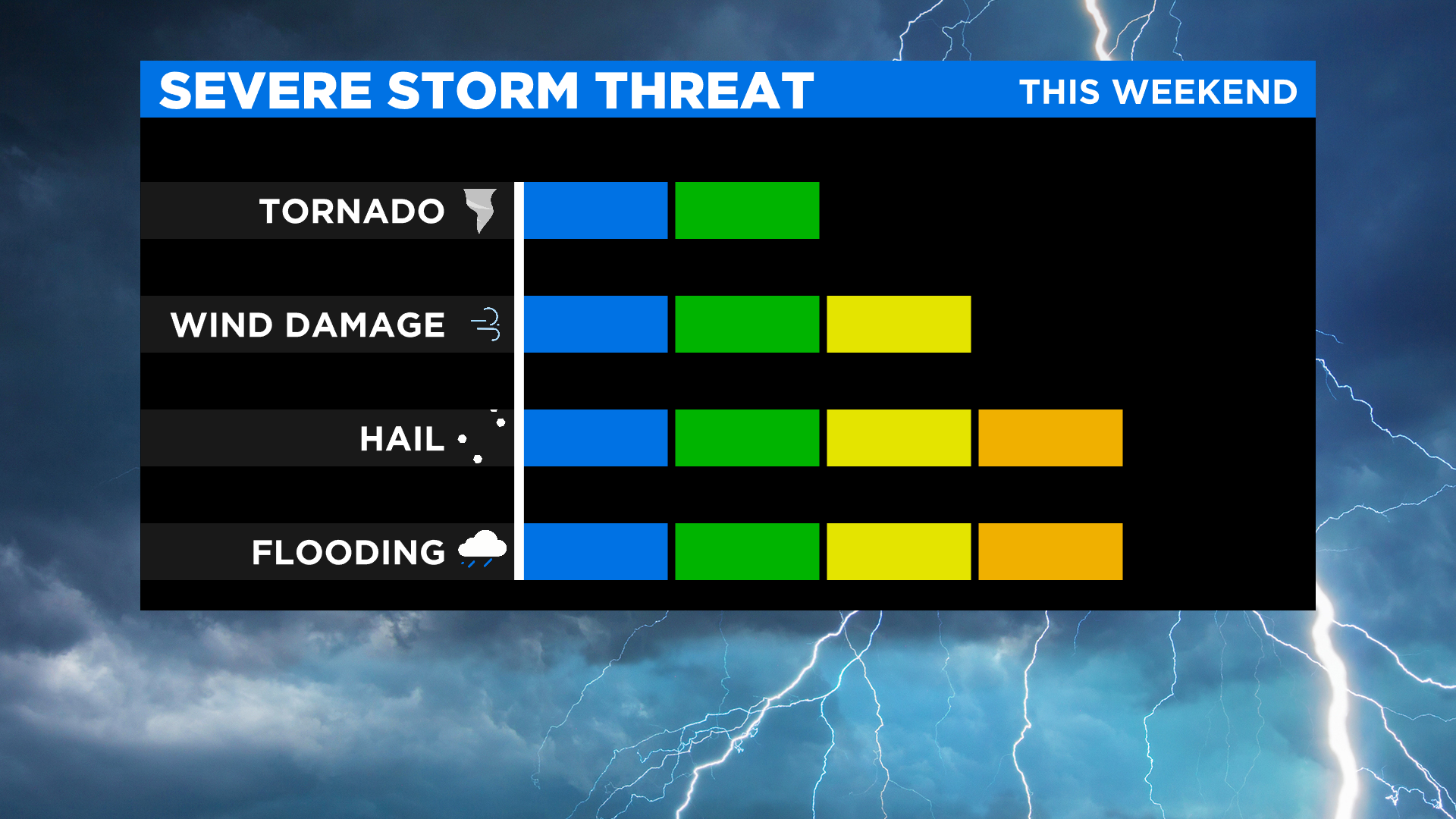
The two main hazards from thunderstorms today will be large hail and damaging wind gusts. But we are also worried about flash flooding because storms won't be moving all that fast. The biggest flood threat will be in and around recent burn scars, especially the Calwood and Cameron Peak fire zones.
Western Colorado will be mostly dry but a few stray showers are possible there. Because they will have more sunshine afternoon highs will climb well into the 80s. The rest of Colorado will be in the 60s and 70s due to extensive cloud cover.

It will be more of the same on Monday and Tuesday with widespread showers and thunderstorms once again in the forecast. We will remain unsettled due to a large area of low pressure that is cut off from the main jet stream. It will slowly drift through the central and southern Rockies this week.

