Denver Weather: There's A Chance For Light Accumulating Snow Friday
DENVER (CBS4) - A weak storm heading for Colorado on Friday may have just enough moisture to produce light accumulating snow in the Denver metro area.
The First Alert Weather Team wants to give you a heads up that there's possibly going to be snow during the Friday evening commute, and it may alter your weekend plans! Be sure to tune in to CBS4 for your First Alert forecast.
Before the Friday storm arrives, a different storm will move from Wyoming to Nebraska through Wednesday night. While the storm will be too far away to have any significant influence on Colorado weather, it will help trigger light snow showers in the northern and central mountains (including along the I-70 mountain corridor).
Any accumulation in the mountains Wednesday and Wednesday night will be minor with up to 3 inches possible mainly in the northern mountains around ski areas like Steamboat, Granby Ranch, and Winter Park.
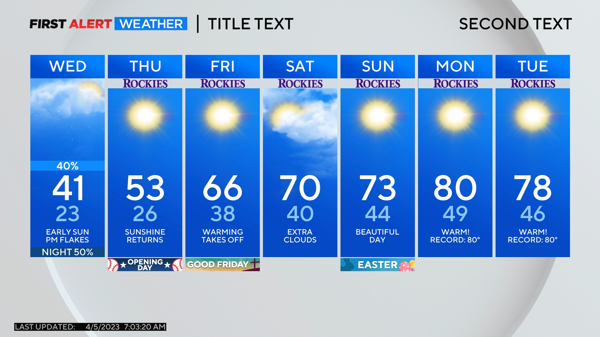
On Thursday, dry weather will prevail statewide before another weak storm arrives on Friday. Although the Friday storm will be lacking moisture, it should move closer to Denver and the Front Range. And since the snow the storm produces will be very light and fluffy, a few inches of snow could quickly accumulate in the metro area starting in the afternoon. There will be no problems for the morning commute on Friday, but snow could be falling during the evening commute.
The very preliminary snow forecast for the metro area is 1-3 inches with the highest amounts on west and south sides of town. Slightly higher amounts are possible in the Boulder area and the snow forecast is very subject to change before Friday afternoon.
Temperatures will also be cooler on Friday but nothing like the frigid weather the Front Range experienced a week ago. The cooler air will linger into Saturday before a significant warmup arrives on Sunday and continues into Valentine's Day on Monday with at least 60 degrees expected in Denver.
