Colorado Weather: Winter Storm Watch Issued For Western Mountains Starting Monday Night
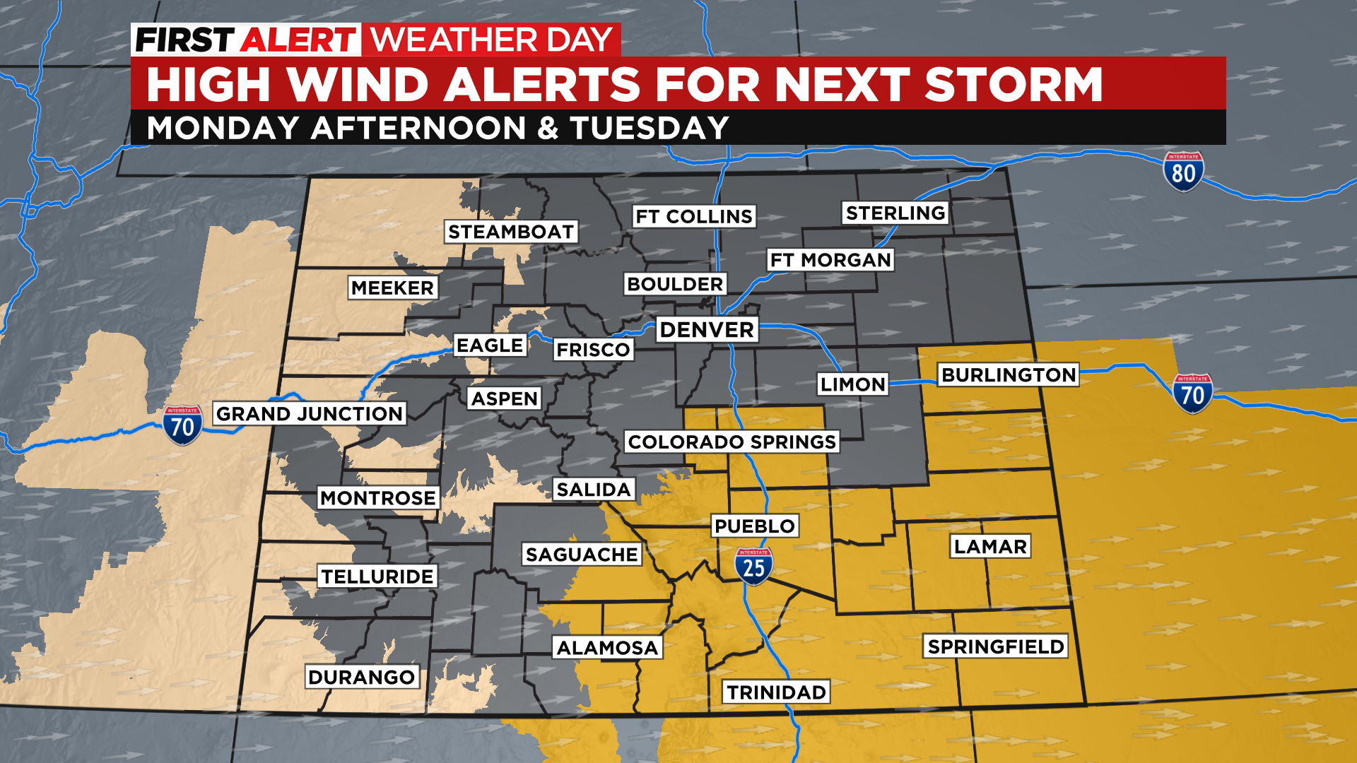
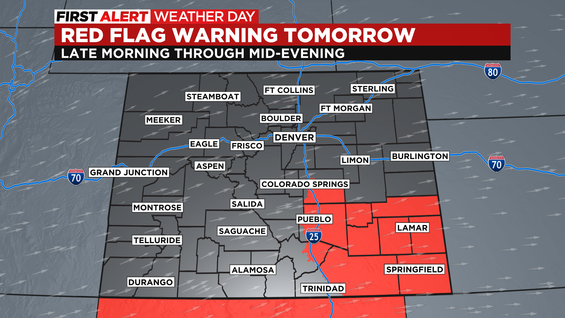
DENVER (CBS4) - A new storm system will impact Colorado starting late Monday through early Wednesday. It will bring another round of wind and fire danger to portions of the eastern plains and southern Colorado. The National Weather Service has already issued several alerts on Monday for fire weather. It will be windy statewide again on Monday with advisories on the western slope and a warning already for the southeast plains.


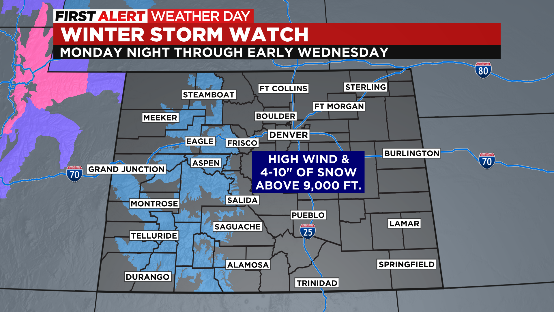
By Tuesday some much colder air will approach the state along with enough moisture to generate some rain and snow. Some locations in western Colorado above 9,000 feet could see several inches of fresh snow starting late Monday night and lasting into the morning hours on Wednesday. The National Weather Service has issued a Winter Storm Watch for mountain chains west of the Continental Divide.

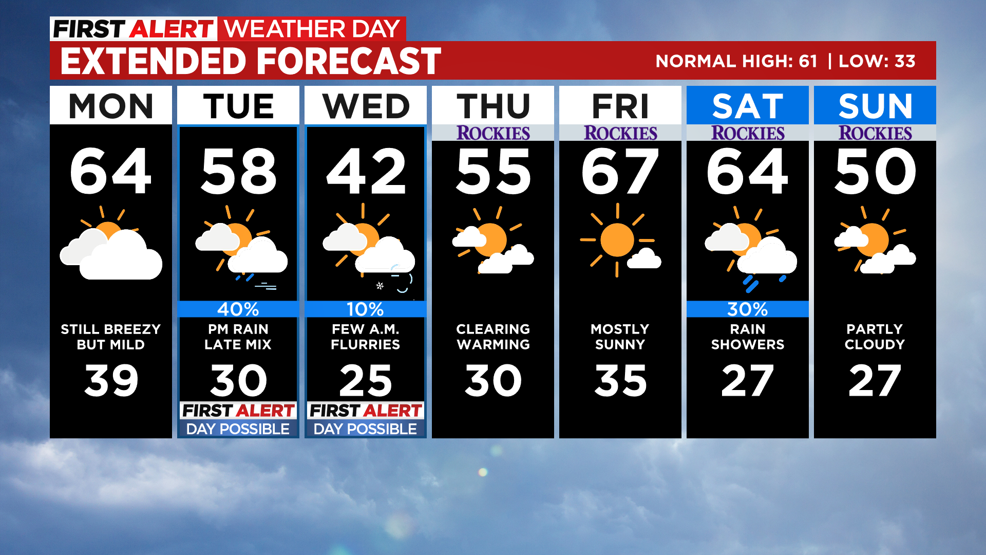
In Denver we could see some rain showers develop during the day on Tuesday and last into the evening hours. If the moisture can stick around long enough it could mix with or change to snow as the colder air filters into the Front Range.
Wednesday will be the coldest day of the week with lingering wind across the state. It'll warm back to seasonal levels as we approach the upcoming weekend.


