Colorado Weather: More snow and bitter cold into Friday
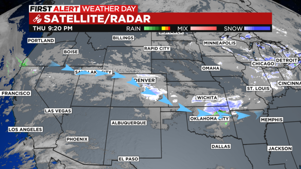
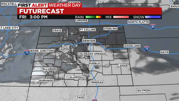
Our Arctic Blast is the storm that keeps giving more snow and bitter cold on into Friday morning! Bands of jet-enhanced snow has continued to fire up across eastern Colorado and the Front Range Thursday night.
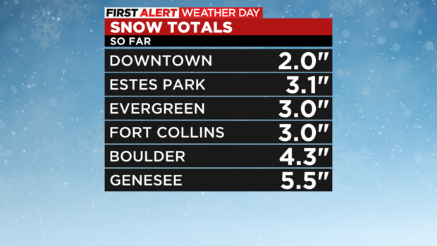
Snow amounts as of 9 p.m. have been adding up around the region ranging from 2 to 6 inches with more to come overnight.
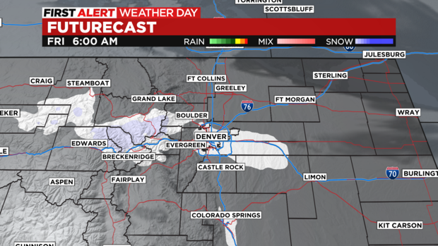
The intensity of the snow will weaken overnight leaving behind a few flurries for the morning commute.
We are keeping Friday a FIRST ALERT WEATHER DAY for the cold and leftover snow that may make for icy roads for the morning drive.
Flurries will taper off after 8 am with clearing skies by noon.
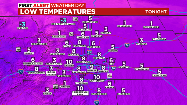
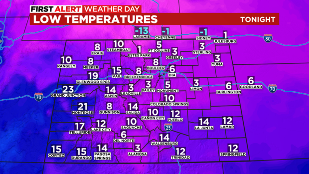
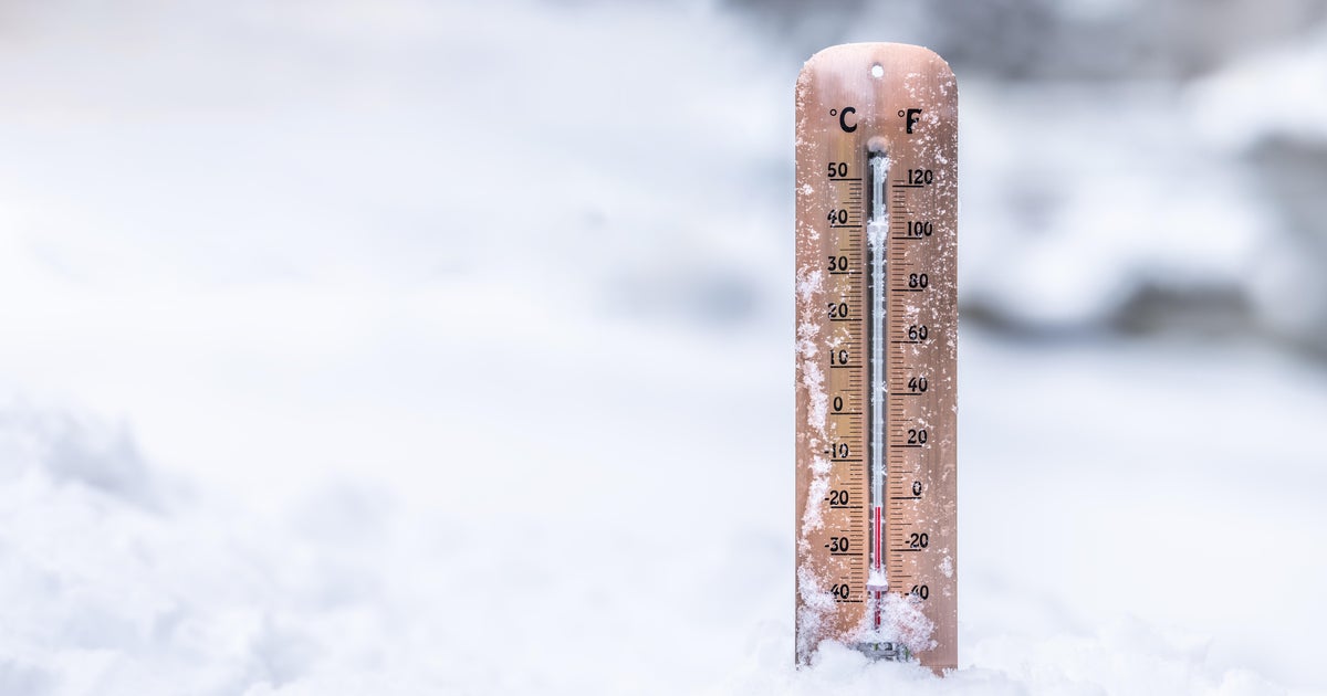
Friday morning will be bitterly cold across the northeastern plains. Many morning lows will plummet into the single digits with a few foothill locations dropping below zero.
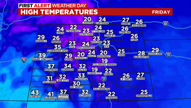
Skies will clear across the state during the afternoon. Even with the clearing skies temperatures will remain in bone chilling territory for most. With 20s and teens across eastern Colorado.
