Colorado Weather: More heat with gusty late day t-storms
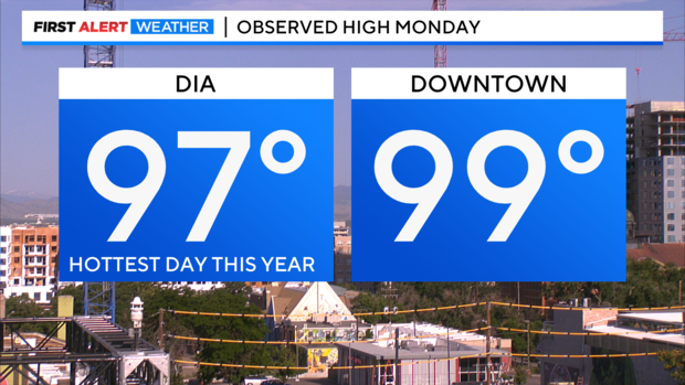
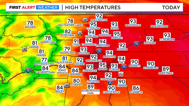
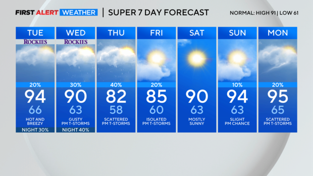
After a sweltering start to the week Monday, we have another hot time for Tuesday with lots of 90s across the Denver metro area expected. Monday's high made it to 97 degrees at DIA. This has been the hottest day of the year so far. Downtown wound up at 99 degrees.
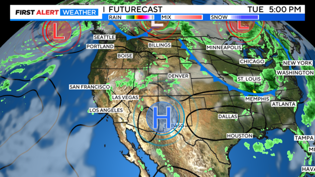
The big heat dome of high pressure is still locked in over the southern Rockies and southwest. This will keep the heat going strong for Tuesday.
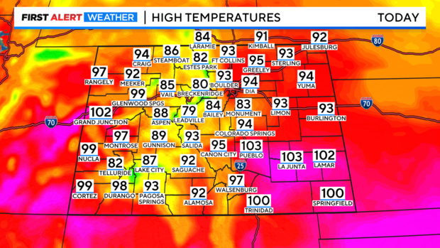
This will send temperatures soaring again into the 90s and low 100s across the lower elevations of the state both east and west. Mountains will be mostly in the 80s.
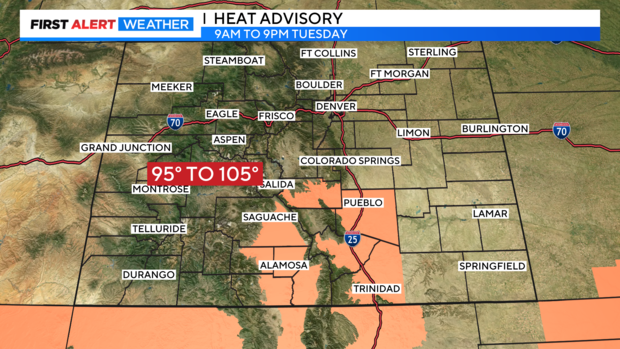
There is a Heat Advisory thru 9pm for areas of southern Colorado from Colorado Springs to Trinidad and the San Luis Valley where highs will rise from 97 to 105 degrees in some areas.
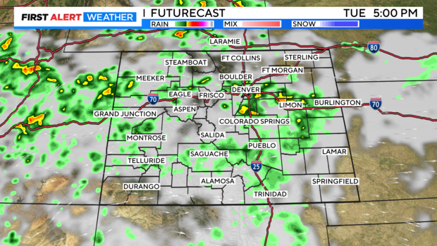
There is a chance for afternoon and evening thunderstorms for the mountains and eastern plains. This may help to cut the heat later in the day. The storms should be high-based which tends to also create strong gusty winds.
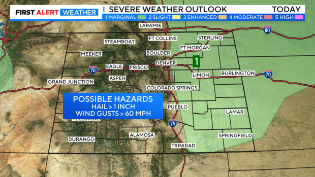
There is a chance for severe storms with 1 inch diameter hail and 60 mph winds from Greeley, DIA and Aurora out across all of the eastern plains Tuesday afternoon.
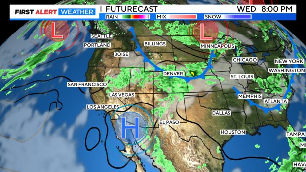
A cold front will start to move in Wednesday and mix with Monsoon moisture for the second half of the weekend. With a return to the 80s for the Denver metro area and a return to daily late day showers and thunderstorms thru Friday.

