Colorado Weather: Mild Summer pattern set to hold on
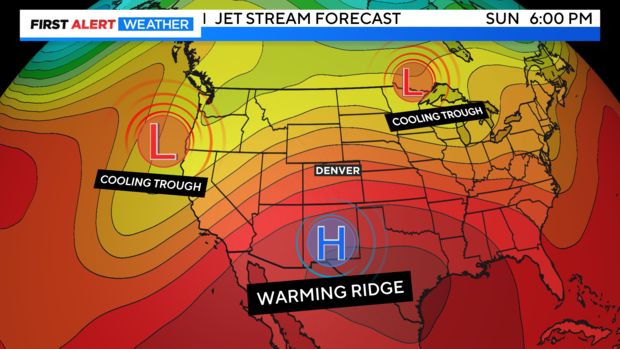
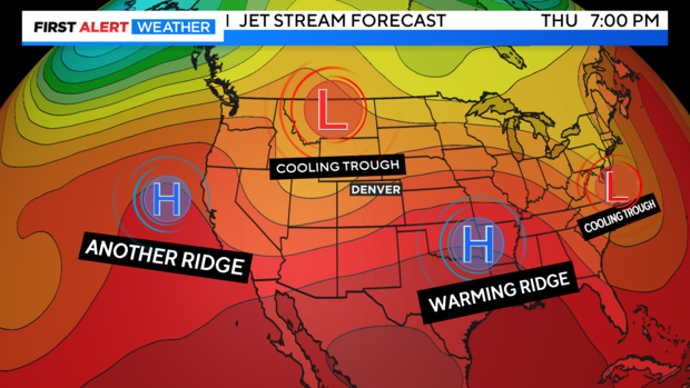
We have gone from wild to mild weather this weekend and that trend will continue through the middle of the week ahead. A nice ridge of high pressure is continuing to get stronger and stronger over the central Rockies. This will help to keep things on the dry and warmer side for awhile.
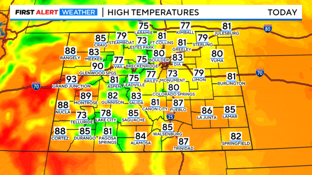
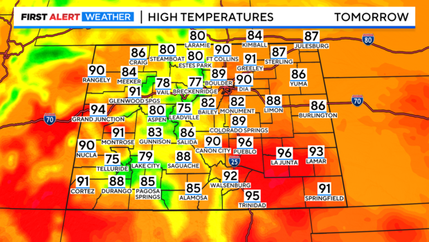
Highs across the eastern plains will be in the 80s with mostly 70s in the mountains and 80s to 90s on the western slope.
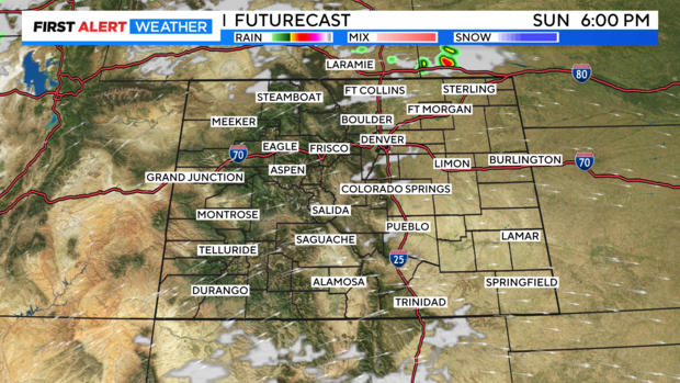
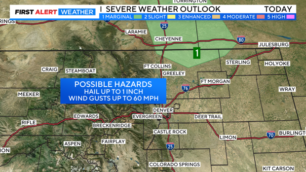
Skies will be mostly sunny across the state for most of the day. By Sunday afternoon there may be a few clouds building up over the Front Range. There is a chance for strong storms in northern Weld county into Wyoming and Nebraska late in the day.
There is a marginal risk for severe storms in northern Weld county. With the threat of 1 inch diameter hail and 60 mph winds.
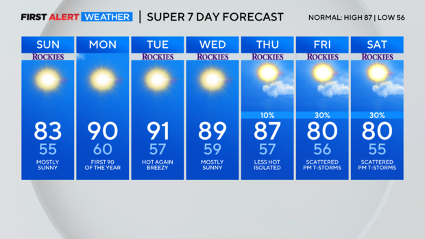
Monday thru Wednesday will be dry and at or near 90 degrees! Monday should be our first 90 degree day in Denver this year.
Next chance for showers and thunderstorms for the Denver metro area will be on Thursday thru next weekend. As a trough of low pressure moves into the northern and central Rockies.
We should be back on the storm track Friday into next weekend.
