Colorado Weather: High winds and warmth before snowstorm
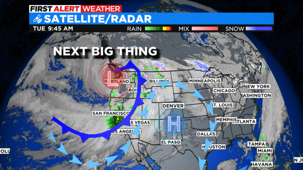
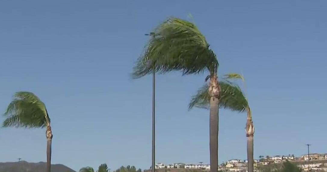
We have an approaching storm system bringing back a hit of snow before the new year. Ahead of this system jet stream enhanced wind gusts will be rocking the Front Range as Tuesday goes on.
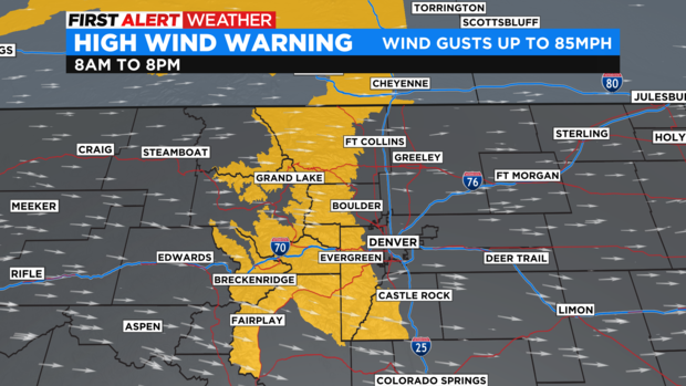
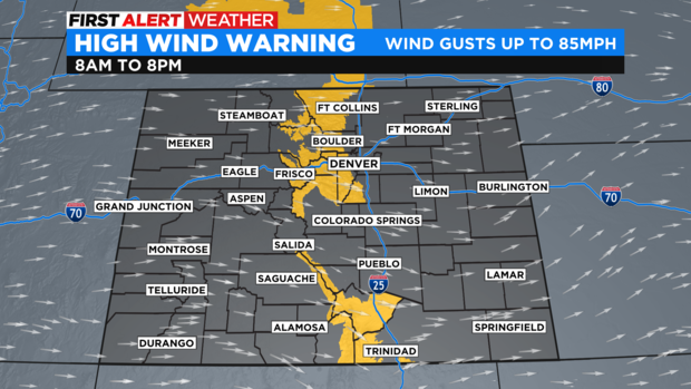
There is a High Wind Warning in place for the Front Range foothills and mountains of the state both north and south. Wind gusts may reach 75 to 85 mph in some spots. Denver is not in the warning area but, may see gusts of wind up to 30 mph.
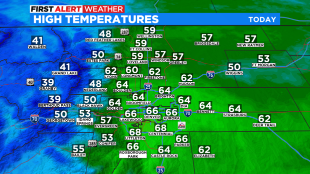
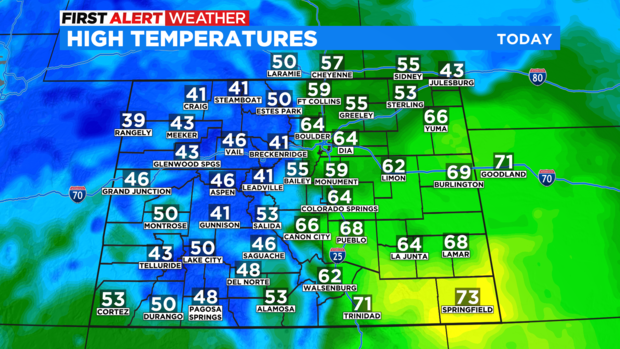
The strong westerly winds will be a downslope, warming wind for the Denver metro area and eastern plains. This will push temperatures into the 60s and 70s for the east side of Colorado.
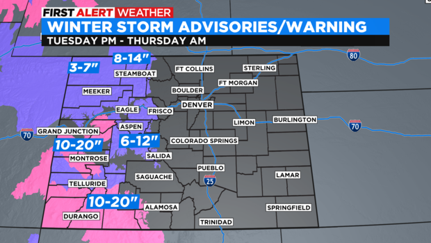
Then, we turn our attention to the incoming storm that will first bring snow to the mountains Tuesday night into Thursday.
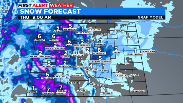
There is a Winter Storm Warning and advisories for some of the western mountains where some spots may see a foot or more heading into the second half of the week.
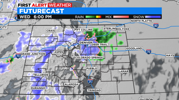
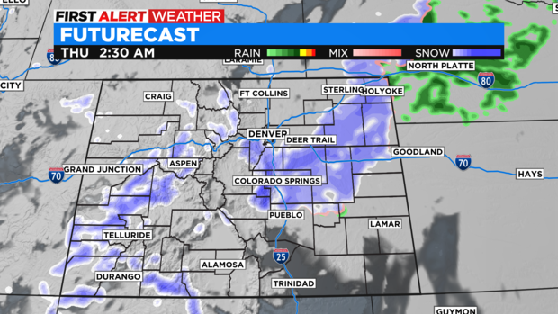
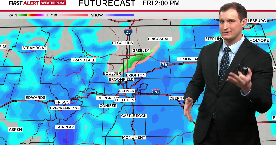
For the Denver metro area there will be a rain/snow mix developing during the afternoon commute on Wednesday. Then overnight into Thursday morning a shot of snow will develop. At this point there may be 1 to 3 inches of snow over the Denver area with more in the foothills and northeastern plains.
The system should move out by Friday.
