Colorado Weather: Freezing rain and snow moving in on Monday
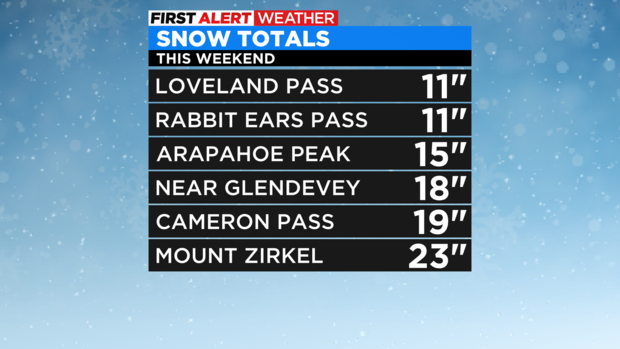
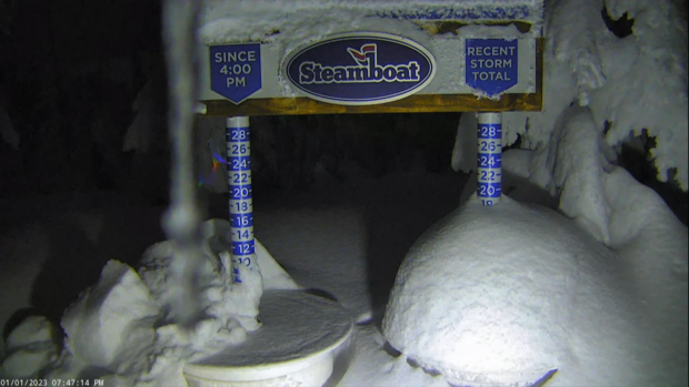
Our new year is wasting no time in getting another winter storm blasting thru the Rockies. The stage has already been set with a huge blast of snow in the western mountains over the weekend. Where some areas picked up one to two feet by Sunday afternoon with more on the way into Monday.
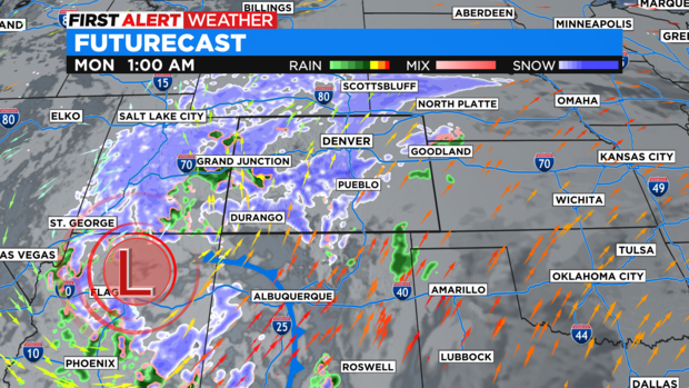
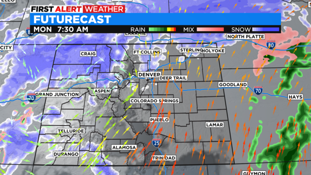
Imbedded in this moisture flow is a cut off storm system that will swing over southern Colorado Sunday night bringing freezing rain and snow to the Denver metro area overnight Sunday into Monday morning.
As a result, we have a FIRST ALERT WEATHER DAY posted for the start of the week.
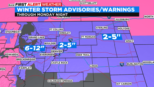
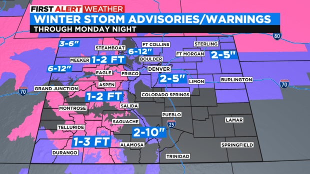
There is a Winter Weather Advisory in place thru Monday night for the Denver metro area, Front Range and all of northeast Colorado. Denver may see 2 to 5 inches of snow with more in and near the Foothills.
The storm will bring the bulk of the Front Range and Denver snow thru overnight Sunday into Monday morning. Roads are expected to be extremely slick as freezing rain will accompany the snow through Monday morning adding a light glaze of ice under the snow.
There will be a little more snow during the afternoon commute before the system moves out on Monday night.
There are still Winter Storm Warnings and Advisories in place for the mountains where 6 to 12 inches may add up from Summit County up through Rocky Mountain National Park. All of the western mountains are under the warning for 1 to 2 feet of snow! With 1 to 3 feet still expected in the San Juan Mountains thru Monday night.
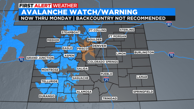
With the heavy blast of mountain snow Avalanche Warnings are in place for backcountry areas of the northern and western mountains with a watch for some of the areas from Summit County thru Clear Creek County thru Tuesday.

