Colorado Weather: Another Round Of Snow
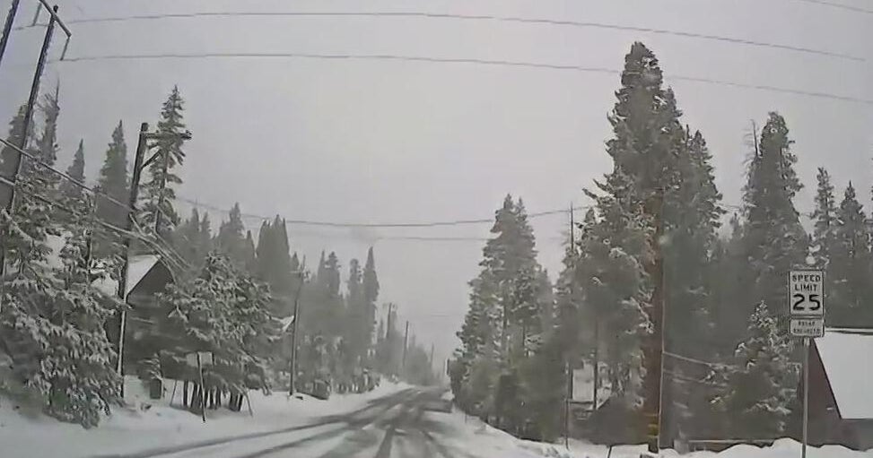
DENVER (CBS4)- For the second time this week, morning and early afternoon snow will fall along the entire Front Range but the timing will be a bit later compared to Tuesday.
The heaviest snow will arrive after 9 a.m. and snow likely for most area through midday. Then the snow will taper off in the early afternoon and all areas should be dry by sunset.
All locations in the foothills of Jefferson, Boulder, and Larimer Counties as well as the Denver, Boulder, and Greeley areas are under a Winter Weather Advisory through 3 p.m. Only the Fort Collins areas has been left out of the advisory. Most areas will end up with 2-4 inches of snow although a few spots in the foothills could get slightly more. Fort Collins will likely get under 2 inches and that is why there is no advisory in that area.
There will also be limited snow in the mountains on Thursday with 1-4 inches at most ski areas and along the I-70 mountain corridor between Georgetown and Avon. Winter driving conditions are certainly possible but this will not be a big storm for the high country.
It will also stay quite chilly statewide on Thursday with afternoon temperatures below freezing for most areas. The day will be about 15-20 degrees colder than normal for late January.
Then frigid weather will settle in Thursday night into Friday morning with single digits for many areas and below zero temperatures also common around Colorado.
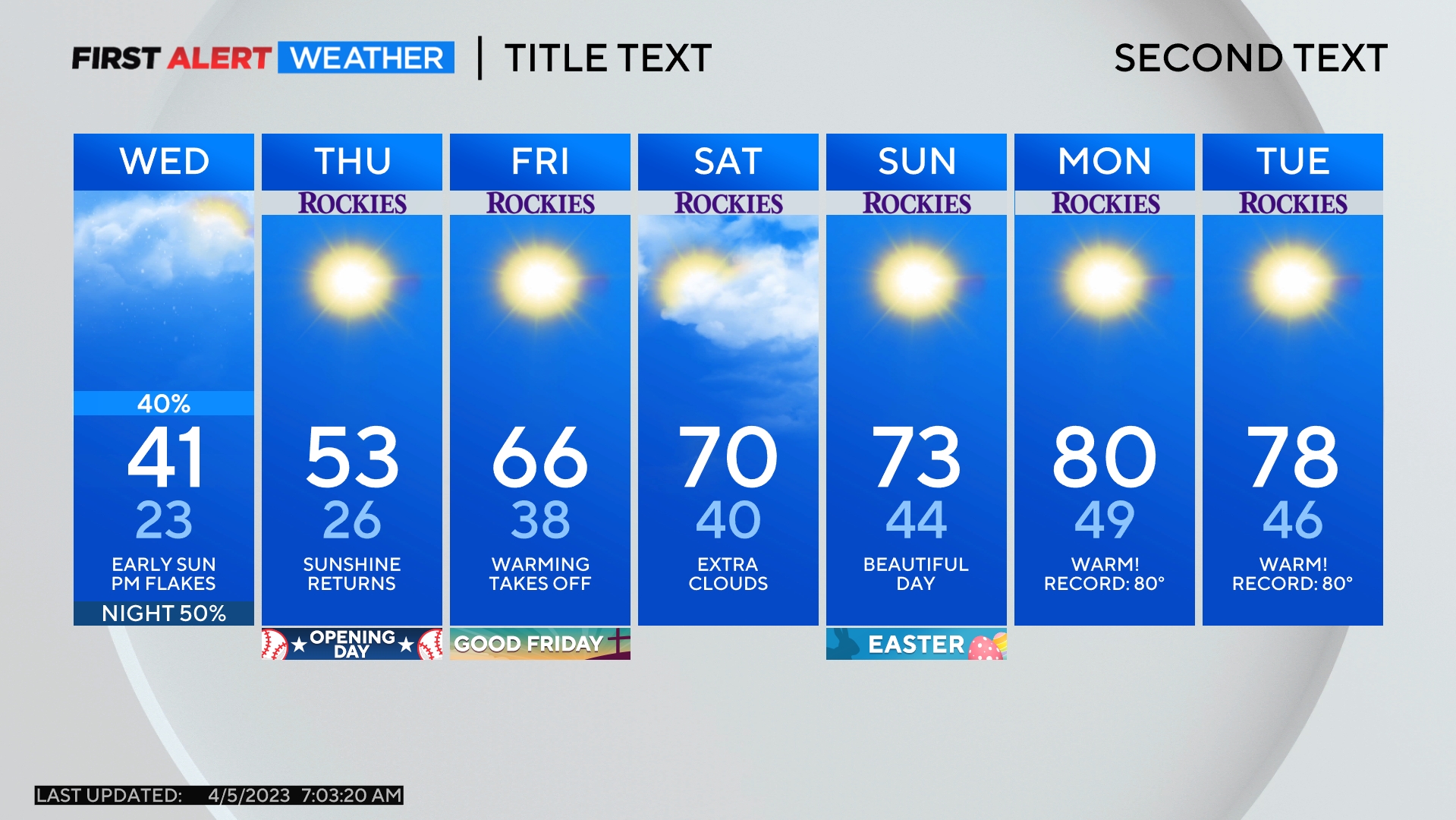
Then a warming trend will develop going into the weekend with mid 40s in Denver Friday afternoon and lower 50s for Saturday and Sunday. Then next chance for snow in the metro area will wait until Tuesday afternoon.
