Colorado Weather: Extended warming trend taking over
After a great Thursday for the Rockies Home Opener with highs in the 50s, it's time to get ready for a big extended warming trend. That will get Denver and the Front Range into temperatures we have not seen since September!
A ridge of high pressure will move in for Friday helping to get the warm up rolling. Highs will rise into the 60s and 70s across eastern Colorado.
There is a Pacific storm system that may bring a few afternoon snow showers into the mountains late in the day on Saturday. The effect over eastern Colorado will be an increase of high clouds but, precipitation is not expected.
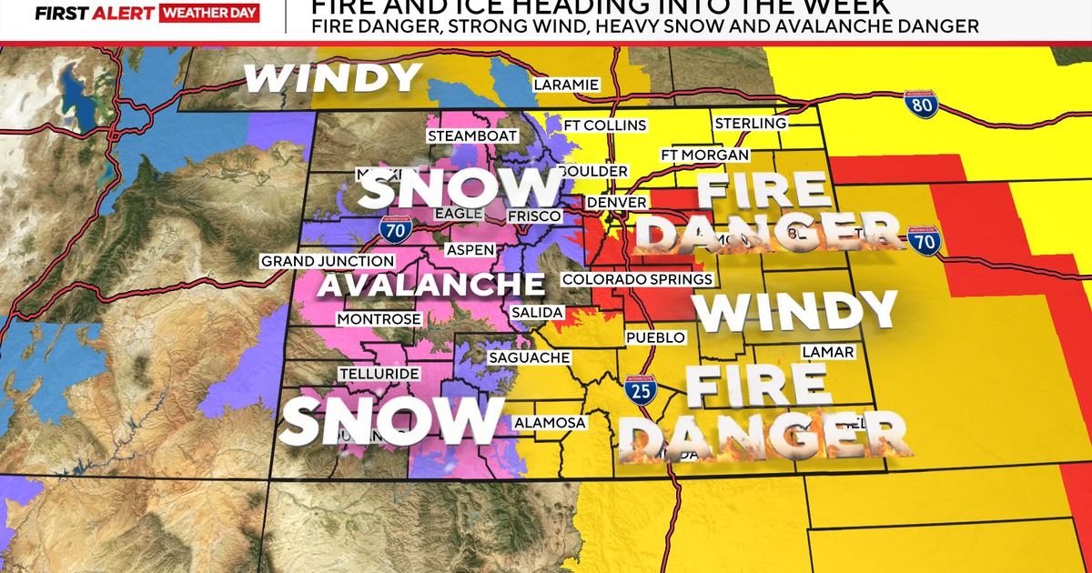
Easter Sunday into the better part of next week we will see a stronger ridge of high pressure taking over the Rockies! This will create warm and windy conditions over the the state.
For eastern Colorado the warm up may produce record or near record high temperatures. That will put Denver near 80 degrees on Monday thru Thursday. The last time Denver made it into the 80s was in late September.


