Colorado Weather: Cooler metro with heavy mountain snow
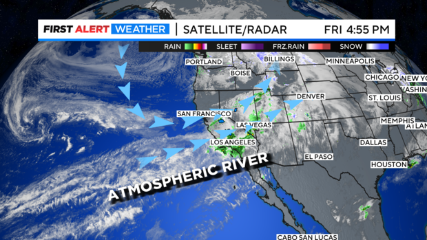
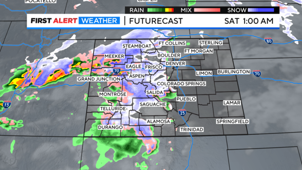
A pipeline of moisture from the west coast is feeding moisture straight into the Rockies. This will be bringing heavy snow into the mountains thru Saturday night. This will be causing travel issues across many mountain roadways as we head into the weekend. Count on icy, snow packed roads along with strong wind gusts blowing snow and limiting visibility.
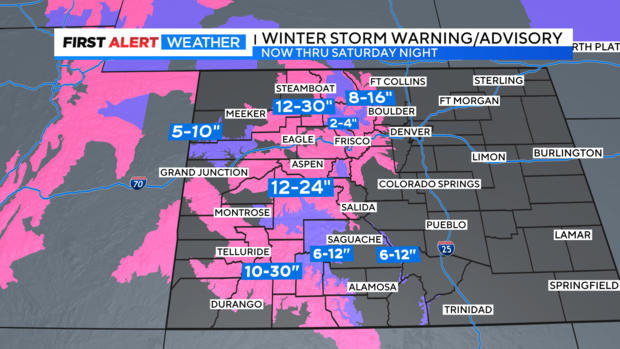
Several Winter Storm Warnings and Advisories are in force thru Saturday night. Some of our heavier amounts may total one to two feet of snow! Some mountains around Steamboat and in the Southern San Juans have the potential from more than two feet.
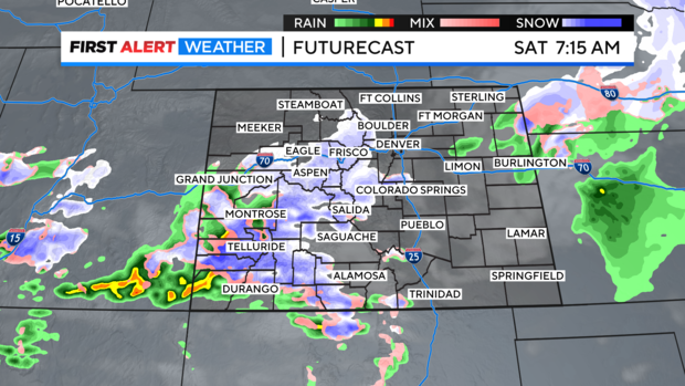
Denver and most of the eastern plains will be spared the brunt of this storm since it is moving west to east across the state. As a result, wind flow and mild temperatures just wont be favorable for snow to develop. There is a chance for a few isolated showers early in the day on Saturday with afternoon clearing for the Mile High City.
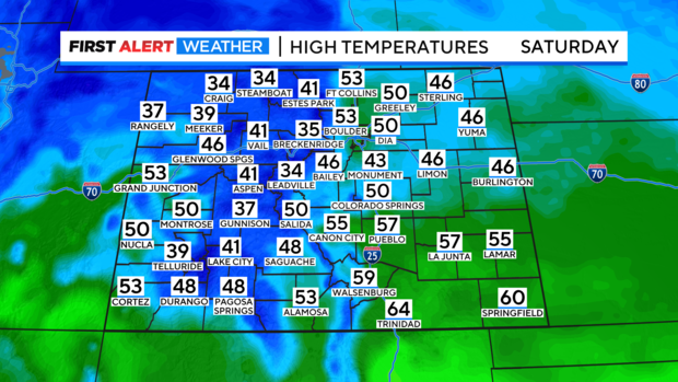
Temperatures should be mild for eastern Colorado with 40s and 50s. Mountains will not be terribly cold either. Since, this a Pacific storm and not an Arctic system highs will be in the 30s and low 40s for most mountain cities. As a result, this will be a very wet snow event.
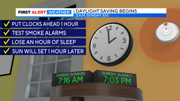
Don't forget to set your clock an hour ahead on Saturday night as Daylight Saving Time begins.
