Colorado storms may reach severe levels for some Thursday
Colorado caught a break from the flooding on Wednesday. For the first time this week there were no flood watches in place for the Front Range or the eastern plains. There were a few severe storms with hail from Cheyenne, Wyoming to the northeastern plains of the state briefly popping during the afternoon.
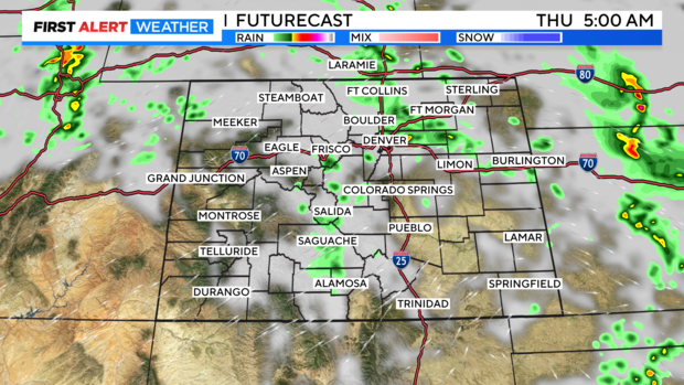
More monsoon moisture will be pushing into the Rockies overnight into Thursday morning. This may give the Front Range and eastern plains a few overnight showers and isolated thunderstorms.
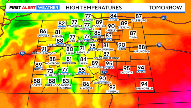
High temperatures on Thursday will top out in the 80s and 90s at the lower elevations east and west with 70s and 80s in the mountains and foothills.
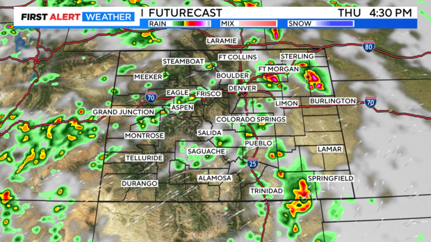
The added moisture will help to get showers and thunderstorms going Thursday afternoon with the heat of the day.
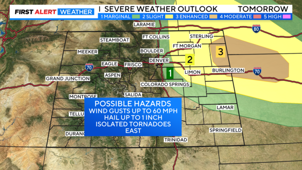
Some of the storms may be severe from Greeley, DIA and Aurora out to the Kansas state line. There is a chance for large hail and damaging wind on the east side of Denver and the surrounding suburbs.
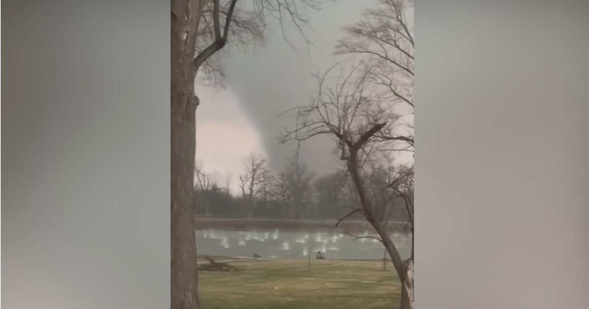
Farther east there is a small chance for a few isolated tornadoes from Limon, Fort Morgan and Burlington eastward.
