Colorado weather: Storm set to bring many a white Christmas
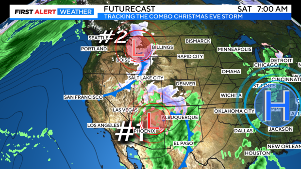
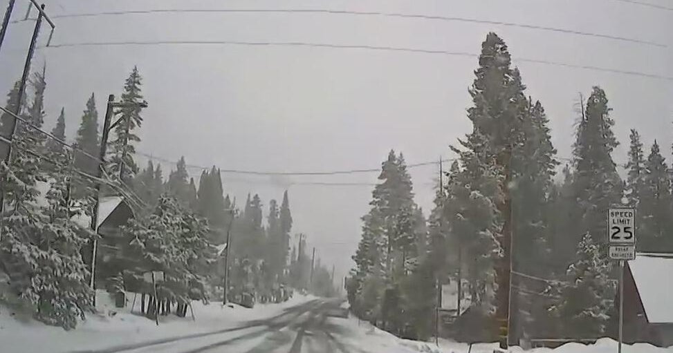
We are watching two storm systems that are expected to team up this weekend bringing in snow for Colorado Friday night into Christmas Day. The 1st element of our holiday change is a big trough of low pressure that is just beginning to push on to the west coast for Friday. (Which is our first full day of Winter by the way.) The 2nd is a cold storm system spinning into the Pacific Northwest from the Gulf of Alaska.
The combination will get snow going in the mountains Friday night into Sunday.
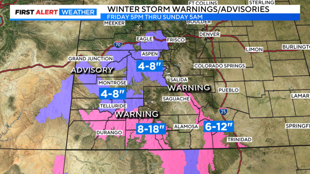
The heaviest snow will blast into the central and southern mountains. There are advisories and warnings posted from Friday night at 5pm through Sunday morning at 5am. Some of the San Juan and Sangre De Cristo mountains may see up to a foot of snow by Christmas Eve Day.
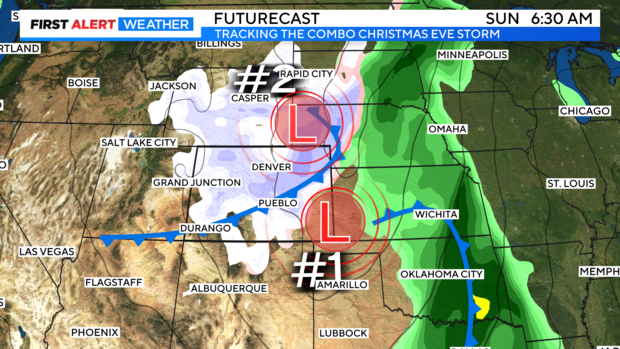
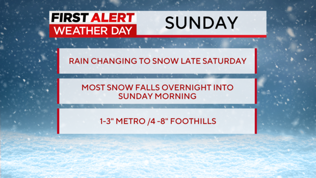
We have a first alert weather day posted for the Denver metro area for the Wintery change rolling in late Saturday night into Christmas Eve. Saturday afternoon and evening will see rain developing as the systems approach.
Late Saturday night the rain will mix with and change over to snow. Most of the snow for the Denver metro area will accumulate overnight Saturday into Sunday morning.
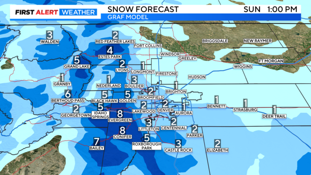
At this point snow amount look to be in the 1 to 3 inch range for the Denver metro area with 4 to 8 inches possible in the foothills.
Some of the northern and Front Range mountains may see 3 to 7 inches of snow.

