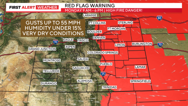
Winds whip across Colorado, Red Flag Warning in place for nearly half of the state
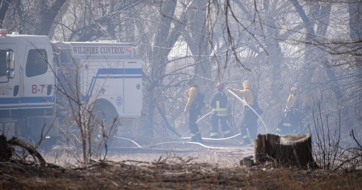
Another day of high fire danger across Eastern Colorado, as winds whip! Red Flag Warnings remain in place through Tuesday evening. Along with winds gusting up to 55 MPH, the humidity will stay below 15%, which means that any fire that starts has the potential to spread very quickly.
RELATED: Wildfire burns approximately 170 acres on the Air Force Academy in Colorado
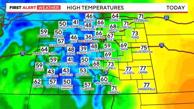
Were it not for the wind, Monday would be a rather pleasant day as highs climb into the 60s again. More 70s are possible in the Eastern Plains and the Southeast.
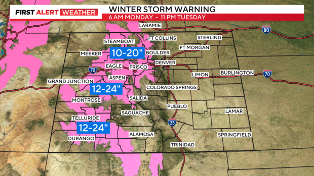
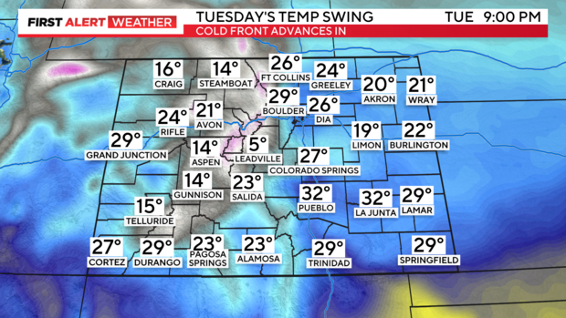
Tuesday comes with a big change in the forecast, as cold air surges in! This storm system will also bring heavy mountain snow, all beginning Monday, with most mountain accumulation happening late Monday into the overnight hours. On top of heavy snow, winds will stay strong, at times gusting as high as 60 mph which will cause dangerous travel and blowing snow.
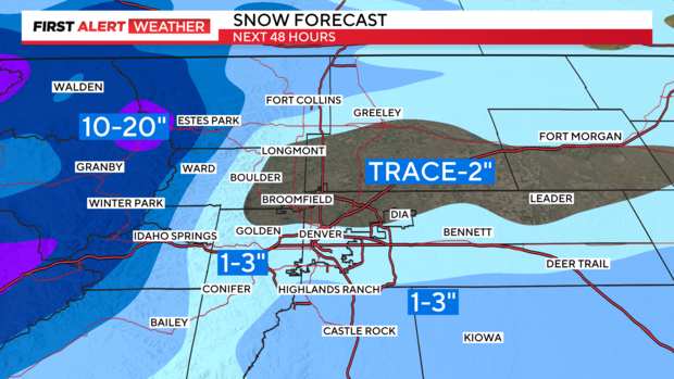
Impacts from the snow in the lower elevations become more likely as the day goes on, and as temperatures dive. Light snow will begin in the morning, but with warmer surface temperatures, accumulation isn't expected until later in the day as colder air moves in. A quick, slushy 1-3" is possible for the Denver metro.
Temperatures on Tuesday will start in the upper 30s, falling into the 20s by the afternoon! That drop in temperatures also comes with gusty winds.
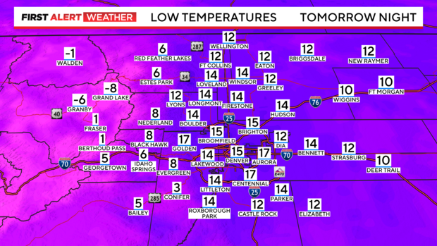
Wednesday morning will come with a very cold start as overnight lows drop into the single digits, and teens.
By the afternoon, things warm up into the 40s under a mostly sunny sky!
