Dangerous travel across Colorado's mountains, another Arctic blast in Denver

An Arctic blast is heading towards Denver with wind chills as low as 30 below possible for a 60-hour stretch.
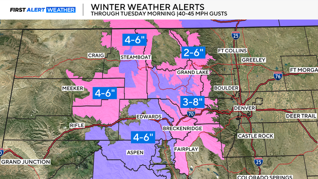
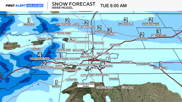
Heavy mountain snow coming to an end Tuesday morning
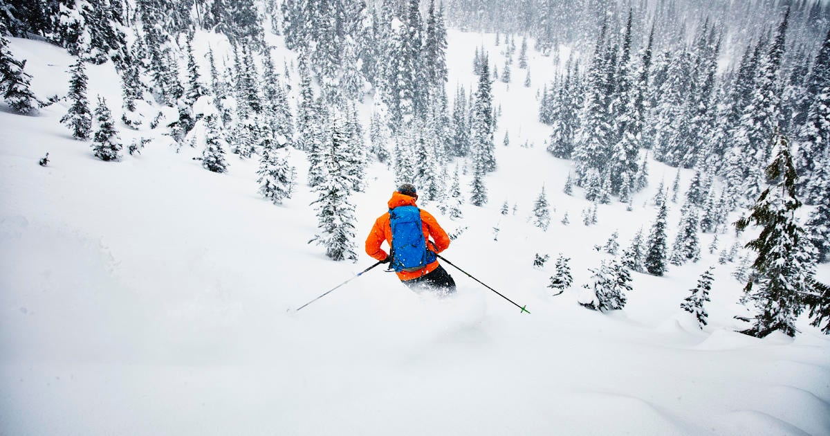
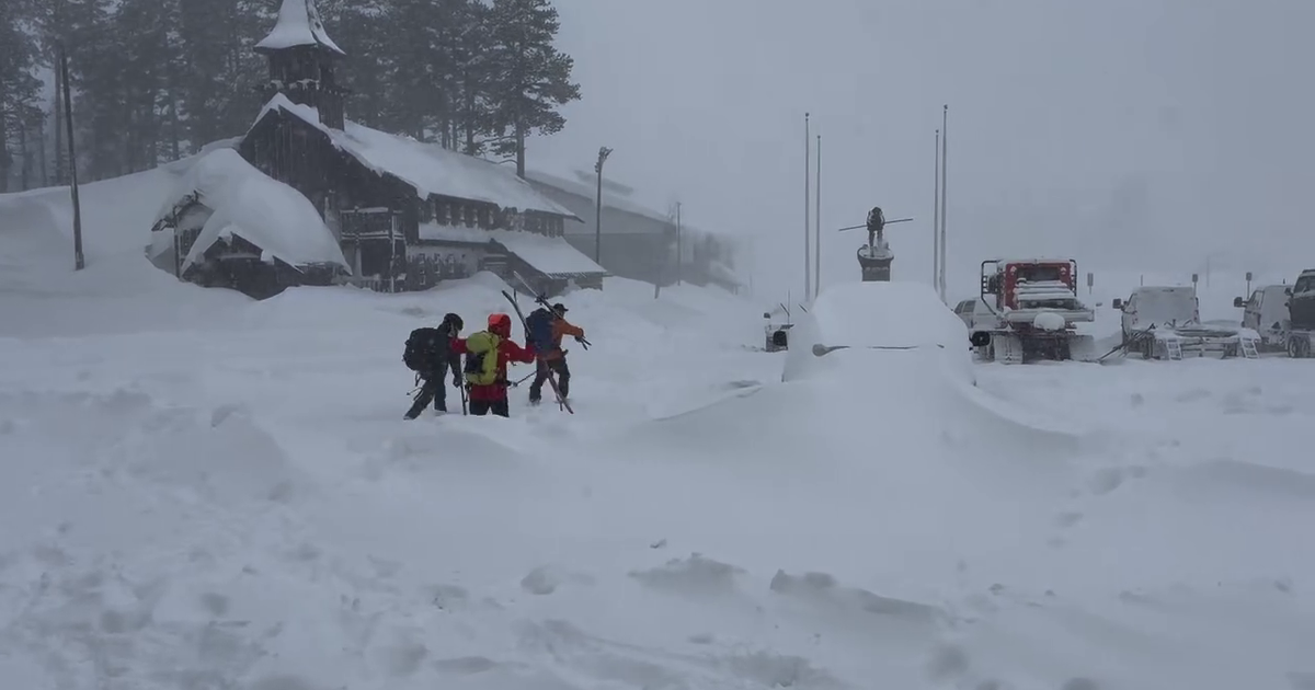
It has been an impressive 72 hours across the high country with treacherous travel and significant snow for ski resorts. Some of the top reports so far include Vail Mountain at 35 inches, followed by Copper Mountain at 28 inches.
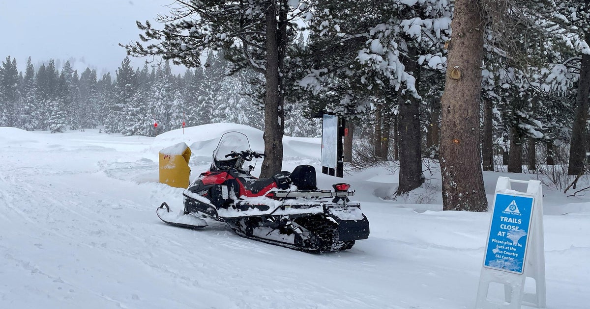
Moderate snow bands will linger through Tuesday morning, dropping anywhere from 3-8" in a short period of time.
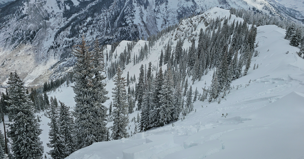
Avalanche warnings have been issued through Tuesday with avalanche danger at level 4 out of 5. It is best to avoid backcountry and out-of-bounds skiing.
Few waves of snow spill on the Plains
While moderate to heavy snow continues in the mountains, a few bands will spill across the Eastern Plains. Most of the Front Range will see less than 1 inch of accumulations. A few west-to-east oriented bands will drop narrow accumulations of 1 to 2 inches.
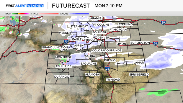
Futurecast does a great job depicting the banding potential, showing one band on the Palmer Divide and another near Fort Collins.
Another round of snow is expected across the far Eastern Plain Tuesday afternoon and evening. This will bring accumulating snow to I-76, with a general 1 to 4 inches expected.
Here comes the Arctic blast
Arctic air arrives Monday night into Tuesday. Tuesday will be cold, with high temperatures topping out in the teens. Winds will be breezy enough to cause dangerous wind chills as low as 25 below 0 out the door Tuesday morning.
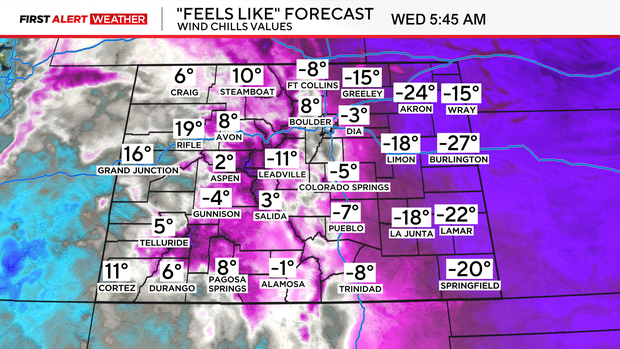
With wind chills as low as 25 degrees below 0, frostbite can occur in as little as 30 minutes to uncovered skin. Make sure you bundle up as you head out the door to work or wait for the bus. Wind chills will be below zero on both Wednesday and Thursday morning, the same advice applies.