Another day of high fire danger before storm system brings rain and snow to Colorado
Red Flag Warnings are in place again for the Denver metro area, and eastern Colorado Tuesday afternoon. Winds could gust as high as 50 mph, as humidity drops as low as 10%.
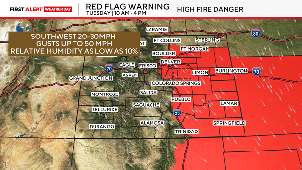
Northern Colorado and the far northeastern plains are not included in Tuesday's warnings, as conditions there won't meet the threshold for fire weather warnings, and winds remain strong across Eastern Colorado through Wednesday.
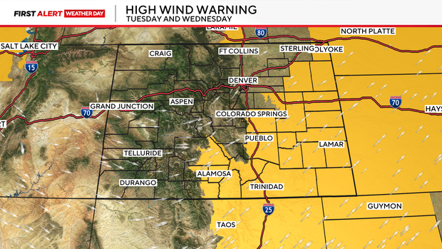
High Wind Warnings are in place through Wednesday. Winds could gust as high as 60 mph across parts of Eastern Colorado.
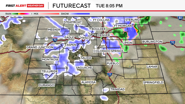
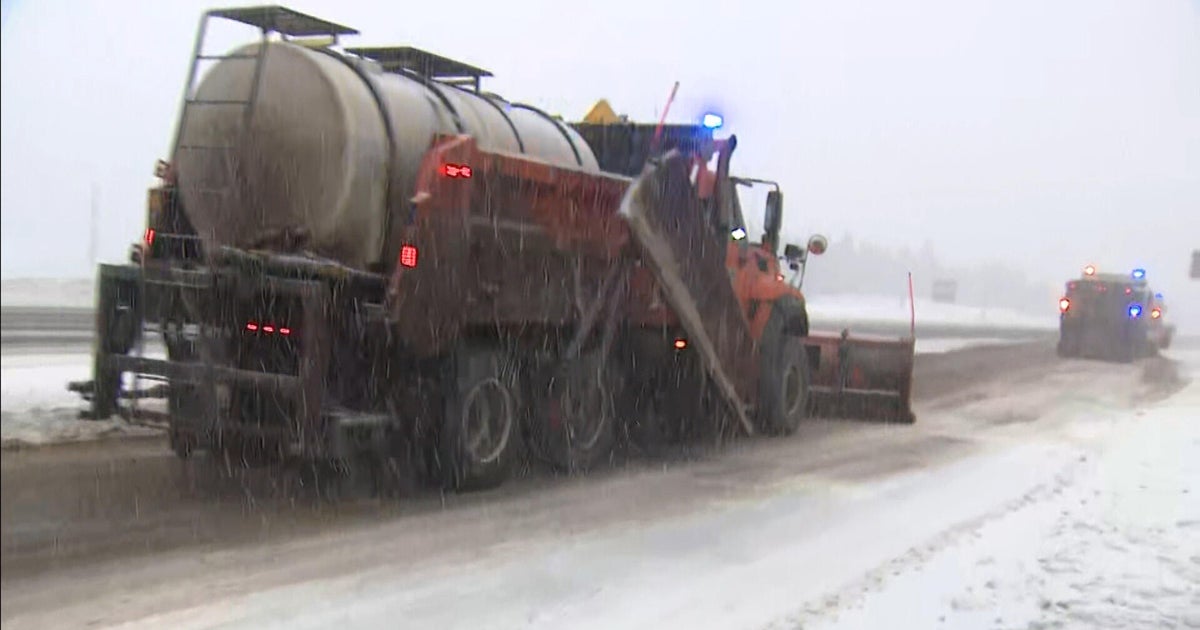
An incoming storm system will drop our temperatures and bring rain and snow across the state, beginning Tuesday in the high country. The cold front will sweep across the state by Tuesday evening, shifting winds out of the north and bringing rain and snow.
Rain and snow will begin in the Denver metro area around the evening commute time frame.
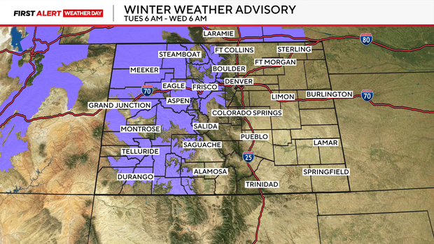
Winter Weather Advisories are in place for many mountain areas through Wednesday at 6 am. As much as 12" of snow is expected across parts of the high country.
Snow totals are minimal for the I-25 corridor, with the possibility of a sloppy dusting of snow. There is a chance that parts of Eastern Colorado could see 1-2" of snow by Wednesday evening. Most of the snow will stay in the mountains.
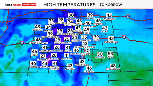
Temperatures will cool down by Wednesday as the storm system exits the area. Highs will only warm into the 40s by Wednesday.