Weekend storm threat looms over North Texas
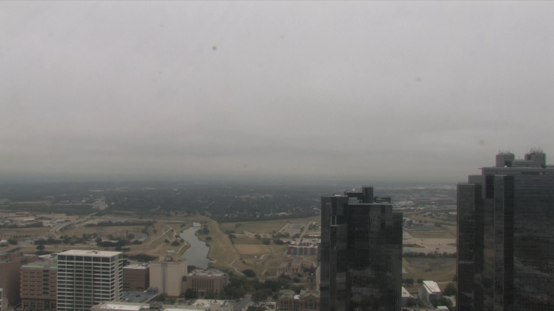
The first day of November started out gray and dismal in some areas of North Texas.
A small area of upper-level energy located mainly west of North Texas provided enough lift for some elevated showers and storms to develop. The storms are moving northeast and will affect parts of the northwest region through the morning hours.
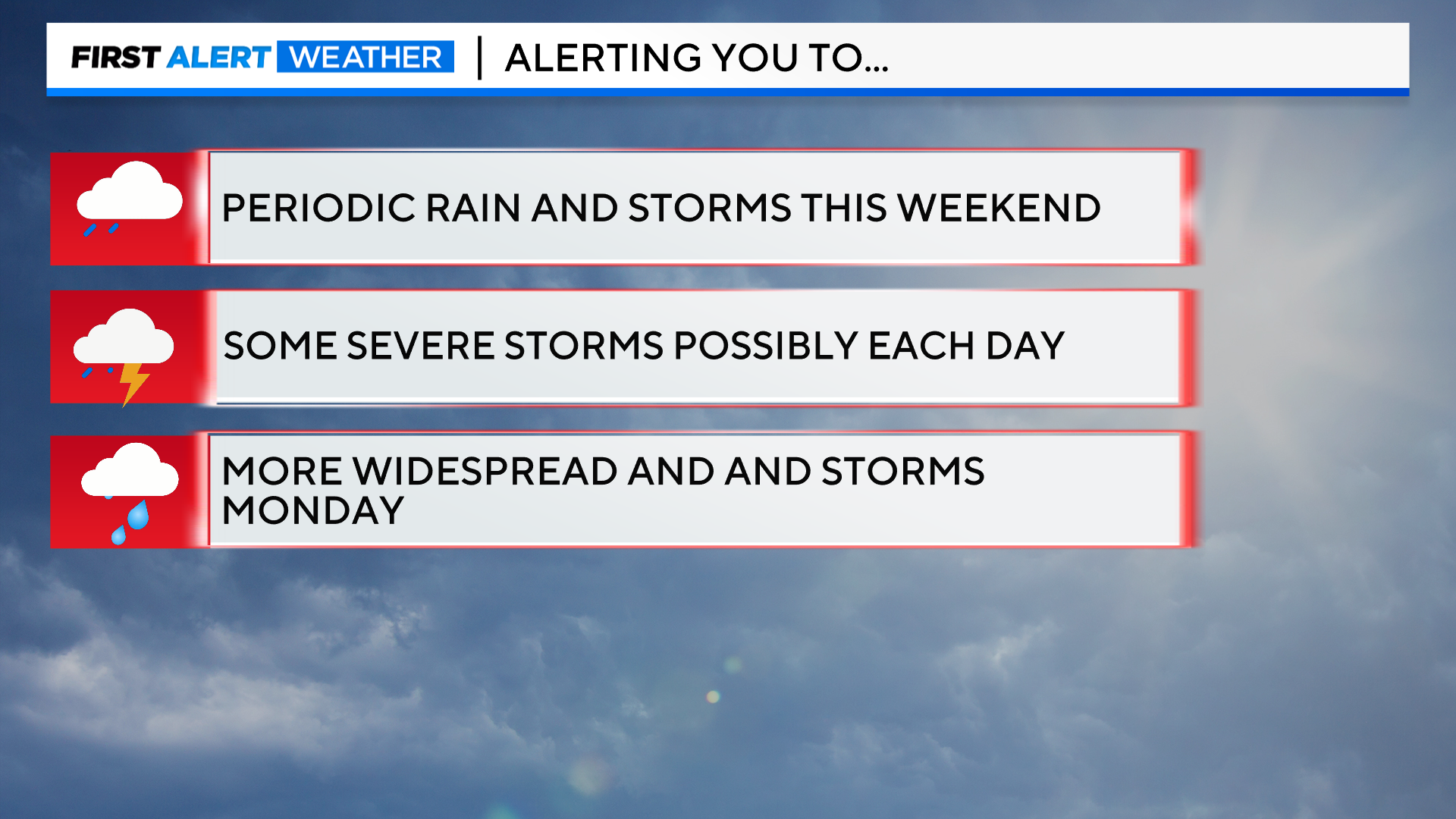
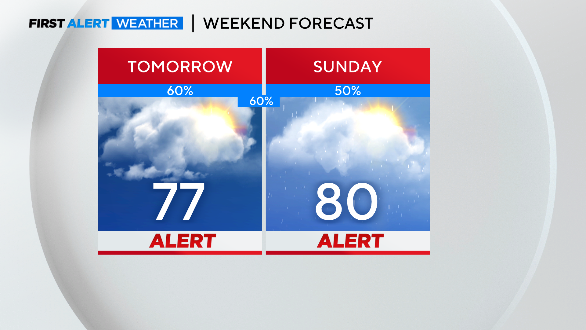
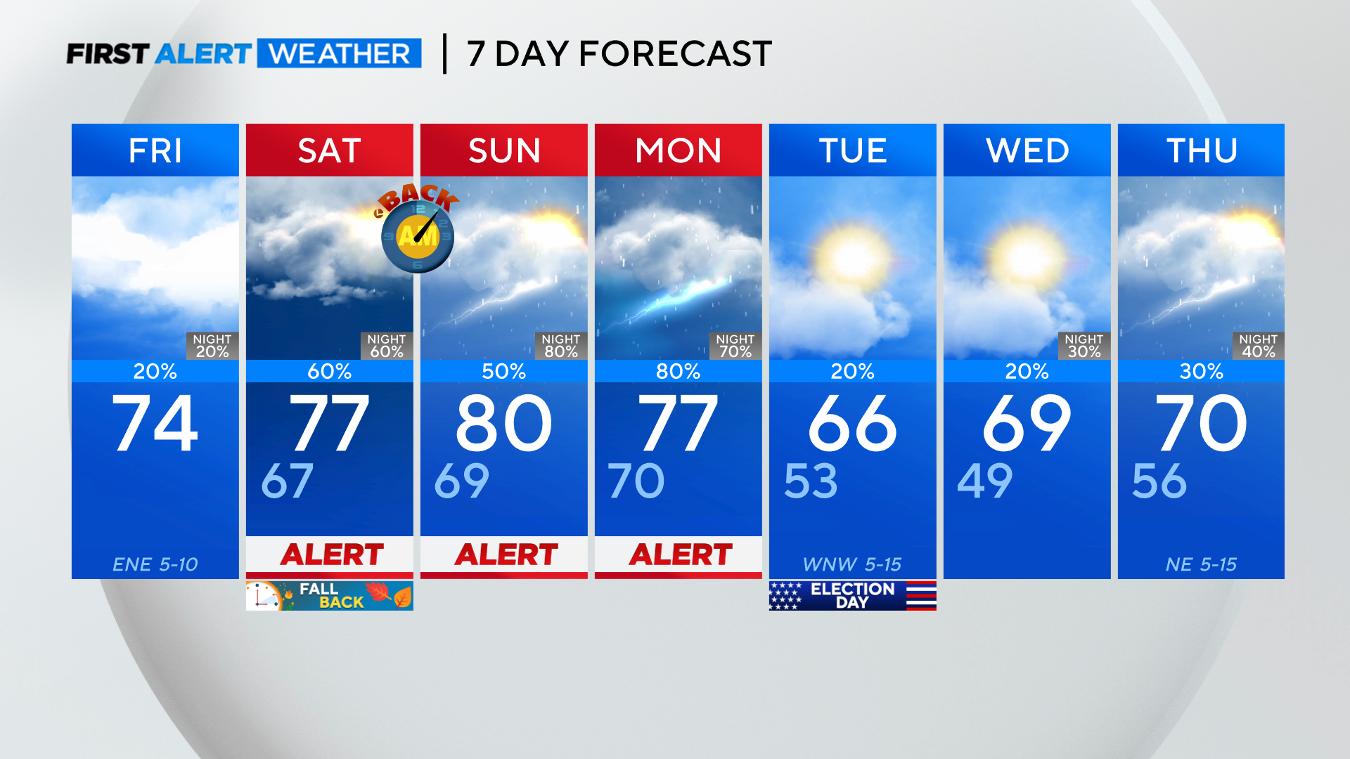
However, there are numerous chances for rain and storms this weekend and into Monday. First Alert Days have been issued for Saturday, Sunday, and Monday.
A storm system will approach the Plains over the weekend, bringing multiple rounds of showers and storms from Saturday through early next week. There will be breaks in the rain at times, with periods of light rain transitioning to heavy rain each day, so plan accordingly. Currently, it appears that areas along and north of I-20 will have the highest chances of thunderstorms this weekend.
Moisture will continue its northward progression through tonight, meaning there's a possibility for more organized showers later this evening. The cold front that moved through Wednesday into Thursday has stalled to the southeast and will move back north as a warm front overnight tonight into Saturday.
North Texas will wake up to drizzle and low visibility in some areas before more significant rain chances develop in the afternoon and evening on Saturday.
The CBS News Texas weather team predicts that the best chances for strong to borderline severe storms on Saturday will be along and north of I-20. High-resolution models are trending down in the expected coverage areas across North Texas, with the target area being more northwest. If there is more consistency in model runs, the chance of rain coverage on Saturday may be reduced.
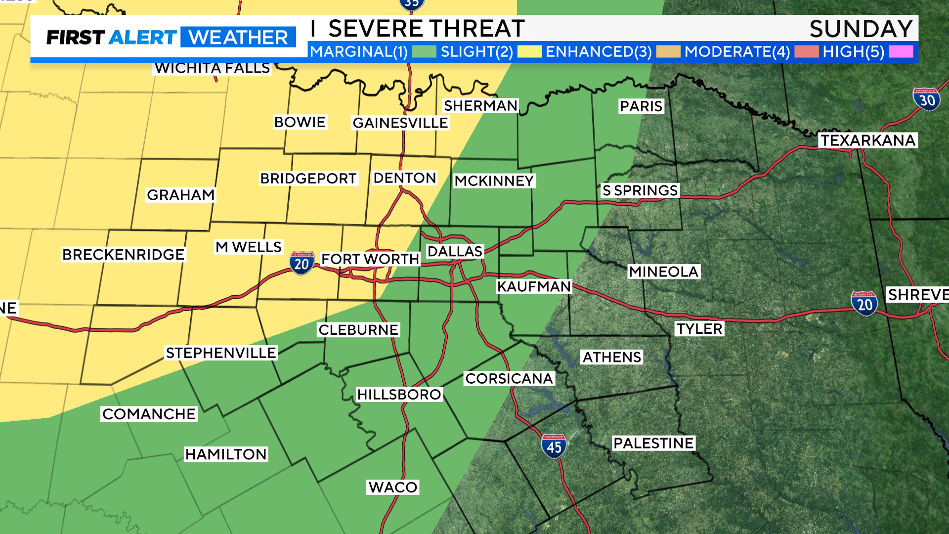
Sunday looks to be a day to stay weather-aware, as the Storm Prediction Center has placed parts of North Texas and the metroplex under a slight risk of severe storms.
Monday is expected to bring more widespread rain and storms, with all of North Texas under a 15% chance of any storms reaching severe limits. Monday could see storms that produce large hail and damaging winds, and isolated tornadoes cannot be ruled out.
As a cold front moves into and through North Texas, residents could see a line of strong to severe storms developing during the late morning hours, continuing to move east through the afternoon and evening. This timeframe may change, but there is potential for storms on Monday.
The front will pass through during the late evening hours, sweeping the storms east when the polls open on Election Day. However, North Texas could experience some scattered showers on Election Day morning, followed by sunshine in the afternoon and cooler temperatures.

