Wednesday morning starts cool, cloudy, followed by partly sunny skies
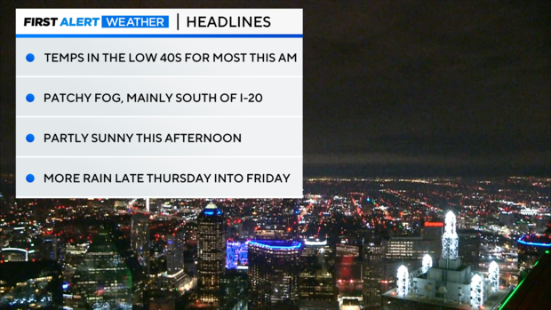
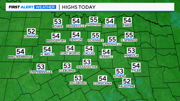
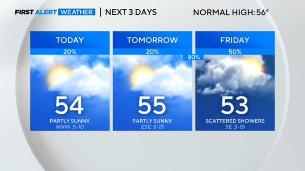
NORTH TEXAS – It's cool and cloudy this morning with a few lingering showers to the east. The clouds should break up some into this afternoon, leading to partly sunny skies and highs in the low to mid 50s.
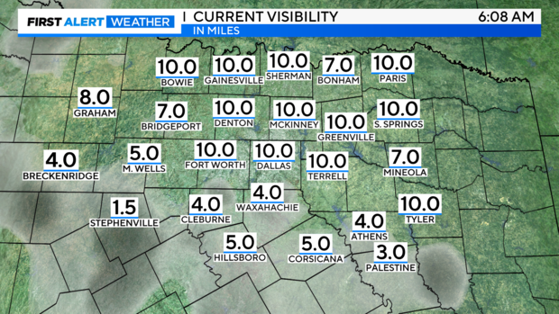
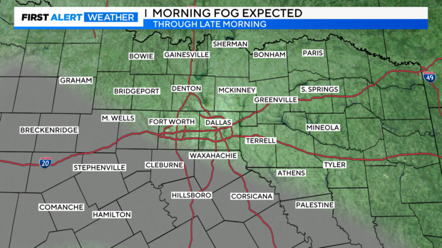
We're also dealing with some patchy fog, mainly south and west. There are no dense fog advisories, but it'll be worth watching over the next few hours.
Expect most of the fog to mix out as we get closer to 10 and 11 a.m.
Highs will be near or slightly below normal for this afternoon with partly sunny skies.
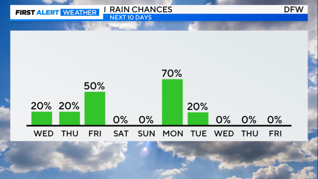
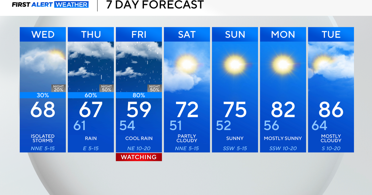
Tomorrow will be similar during the day, partly sunny with highs in the mid 50s, but the rain chances really ramp up into the overnight hours Thursday into Friday (11 p.m. – 5 a.m.).
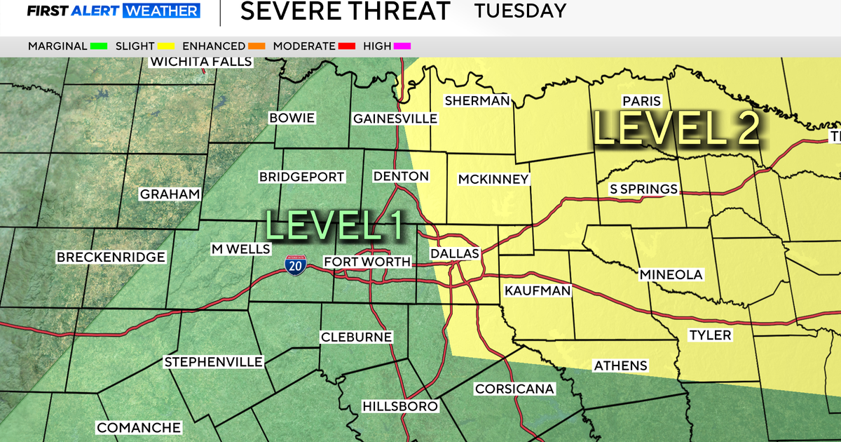
We're not expecting severe weather with the rain Friday, but we will have to watch the system on Monday.
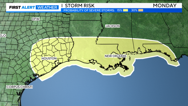
As of Wednesday morning, the SPC has this area of southeast Texas, southern Louisiana/Mississippi/Alabama, and part of the Florida panhandle highlighted for the threat of severe weather. While North Texas isn't highlighted right now, this is a strong system and could bring some stronger storms to the area so we will have to watch.
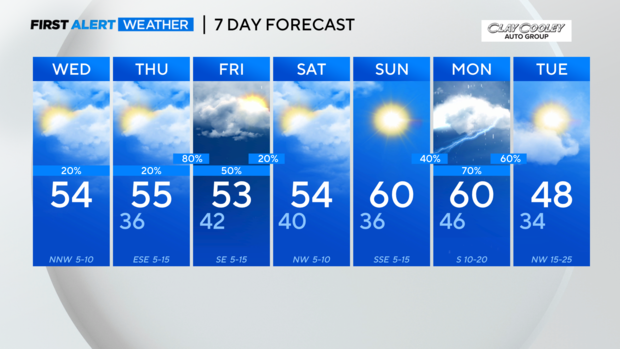
The weekend before our stormy Monday looks great. Partly sunny on Saturday with mild temperatures, and Sunday will be sunny with highs topping out near 60 degrees!
Expect a sharp drop in temps after Monday's system moves through. Lows will start in the 30s and highs will only warm into the 40s. Given we're talking about this system six days out, I wouldn't be surprised to see the forecast temps drop even more as we get closer. Also notice those gusty winds on Tuesday – it'll be feeling VERY cold on Tuesday.
