Severe storms possible for parts of North Texas later this evening
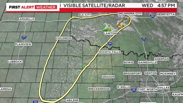
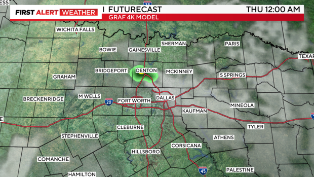
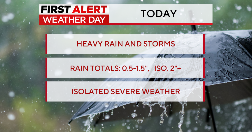
NORTH TEXAS (CBSNewsTexas.com) – While much of North Texas remains capped, cumulus clouds are starting to build out west along the dryline. This is an indication that storm initiation is ongoing, and these are the storms we want to monitor into this evening.
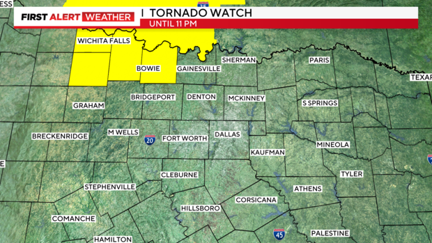
The threat is mainly for areas to the north and west of the metroplex. A tornado watch has been issued for Montague County through 11 p.m. – this watch extends into Oklahoma.
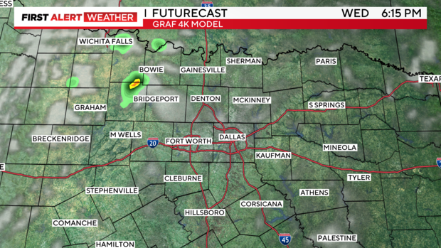
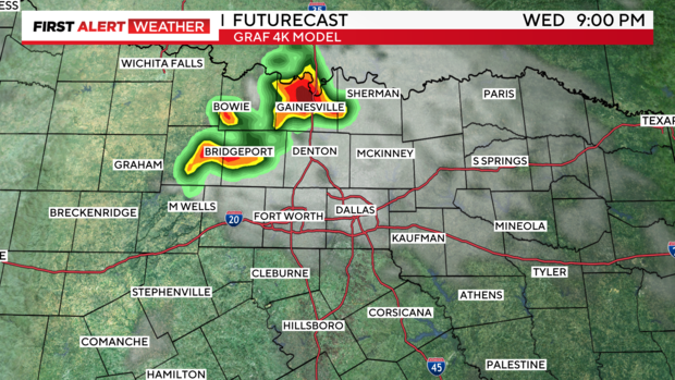
We'll watch for storms to continue developing over the next few hours. As they track north and east, they could produce large hail and damaging winds. As the storms get closer to the metroplex though, we're expecting them to weaken and eventually dissipate.
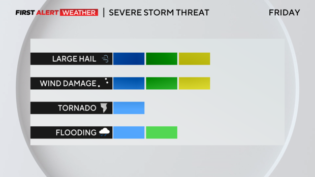
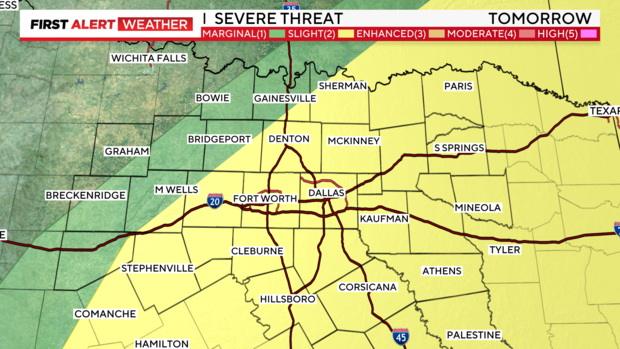
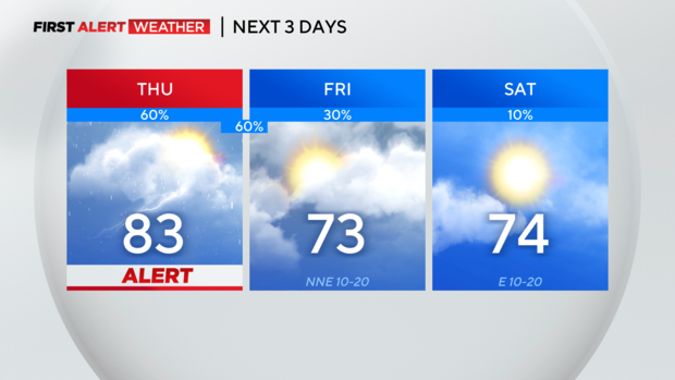
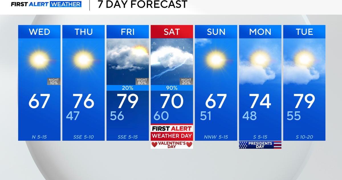
More storms are expected Thursday as a cold front moves into North Texas and slows down, almost stalling, until Friday.
We'll watch for storm development in the early afternoon, mainly along and east of I-35.
Expect a few showers and storms around Friday, but the afternoon should begin to clear. Temperatures will be cooler for the weekend, especially on Sunday when highs are only expected in the 60s.
