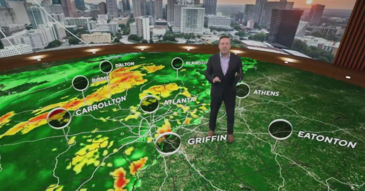
Warm & windy weather ahead for much of the next week
For the second day in a row, the DFW airport had a high in the 80s. We are expecting a string of 80-degree days to stretch all the way to Thursday in fact. Tomorrow will be another breezy (and more humid) day.
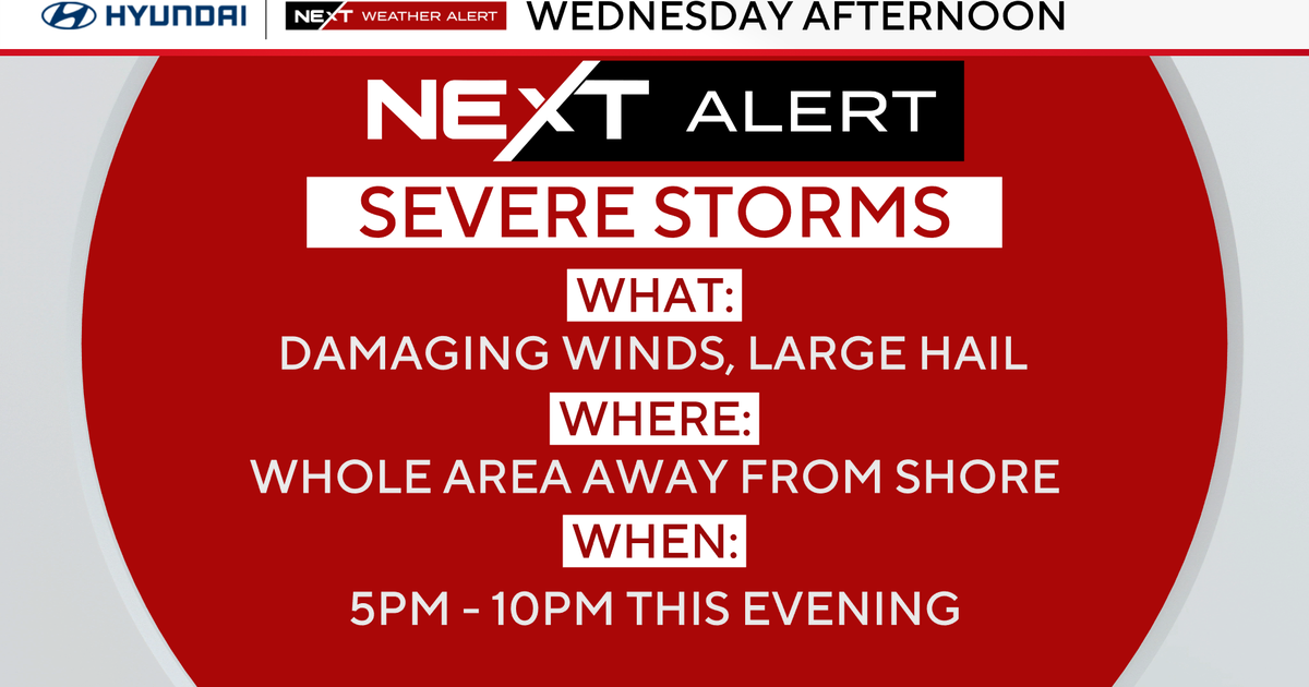
DO NOTICE the WEATHER ALERT for late Monday into Monday night. There is already a slight risk category issued for our western half.
We are expecting the dryline to fire up a line of powerful storms to our west by late afternoon on Monday. These storms will then push toward our western counties. There will be a strong cap in place. The storms should weaken as they close in on the Metroplex.
The First Alert Weather team will be updating you though the night on cbstexas.com. A Pacific front overtakes the dryline and will be moving through in the morning. It could produce another round of severe weather in our eastern counties as the day heats up on Tuesday.
We'll continue to monitor this threat as we draw closer to Monday night. Our hope is that we can drop the weather alert early in the evening (if the cap holds). Here is your 7-day forecast below. Don't put away the second layer clothing just yet. We are back to some cooler (and wet) days by close of week and into next weekend.


