Warm, dry week before the rain returns
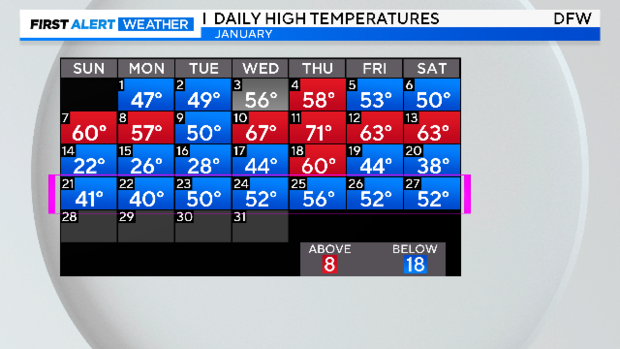
NORTH TEXAS - Just a little recap of what we've been through over these last two weeks. We saw the coldest stretch of January days since 2000 along with some snow Jan. 16 – 18.
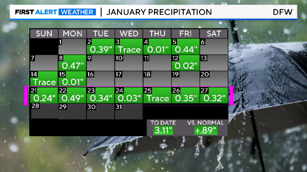
Saturday was no exception to the week. The rain was in the early morning hours but the clouds were with us most of the day, along with below-normal temperatures and a brisk northwest wind. But as we countdown to the last days of January this week ahead, please know that we are also starting to climb out of the coldest month of the year.
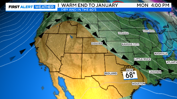
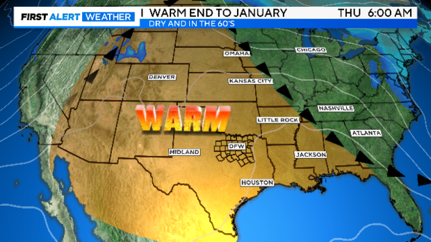
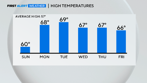
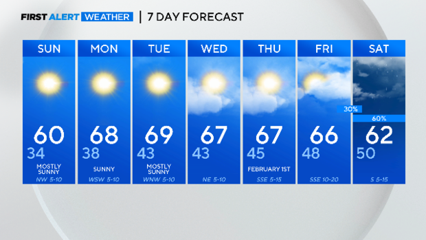
The weather pattern is shifting to some warm and dry weather. It starts Sunday and stays all week as a ridge of high pressure builds over middle America.
The numbers this weather pattern produces in a winter month look like this: Sunday will be the warmest day in about 10 days at DFW. It will also be the coldest day in the week ahead.
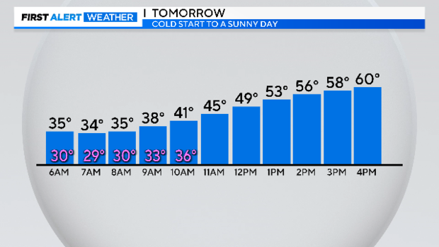
Dress for winter cold Sunday morning. Wind chills are below freezing to start the day, but it will become a sunny day as the wind dies down. Certainly, a day to finally get out of the house and out on the trails and into the parks.
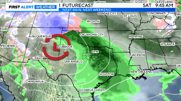
The next rain arrives next weekend. There is even a chance we could see some strong storms with it. This is the EURO forecast for a week from Saturday:
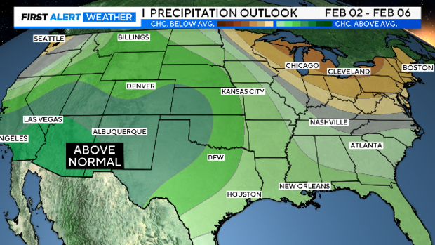
The overall trend looks to be a wet start to February. The winter rains will return as expected. This is an El Nino winter, above-average rain should be in the overall trend.
That's next weekend. Let's enjoy the work week ahead. I expect road and housing construction to get back into full speed ahead and after-school sports practice back to normal schedule.
