Very Cold, Wintry Weather Could Be On The Way Next Week
NORTH TEXAS (CBSDFW.COM) — The First Alert Weather Team is sniffing out changes, maybe big changes, that could lead to a series of arctic fronts and the chance of wintry weather. Yup, I said it. Let's dig in.
Before I begin, don't get excited, okay? We have to be measured and mature about this—says the one who nearly hyperventilated seeing flurries a few weeks ago. But this isn't about me. This is still six or seven days away and much will change in that time frame. The model giveth and the model taketh. As long as you understand that, we can proceed.
As I peer into my crystal ball, the lovely warm and fuzzies we associate with February love could be stone cold again this year, but nothing on the scale of what we saw last February.
HERE WE GO AGAIN, BLAKE. MUST BE RATINGS (MAJOR EYE ROLL)
Not at all. So why am I speaking up now? There appears to be a growing consensus amongst all the model members (GFS, GFS Ensembles, Euro and Canadian) that this may be an issue by next week. Of course the timing, amounts and duration are different amongst all of them.
Not only are we talking about the low-end possibility of wintry weather but also of more really cold weather spilling into North Texas as well, and I really think that's probably more of the big story by next week.
The atmosphere has done a complete 180° turn beginning New Year's Day. We were more than thirteen degrees warmer than average in December, making it the warmest, BY FAR, than any December ever recorded. Then the first of several arctic fronts arrived making for a colder than average January. In fact, we've only recorded four days at or above 70 degrees this month. Right now it appears February will kick off brutally cold, if current models are correct (and they may not be).
WHY IS IT COLD ALL THE TIME NOW? WHERE WAS THIS AT CHRISTMAS?
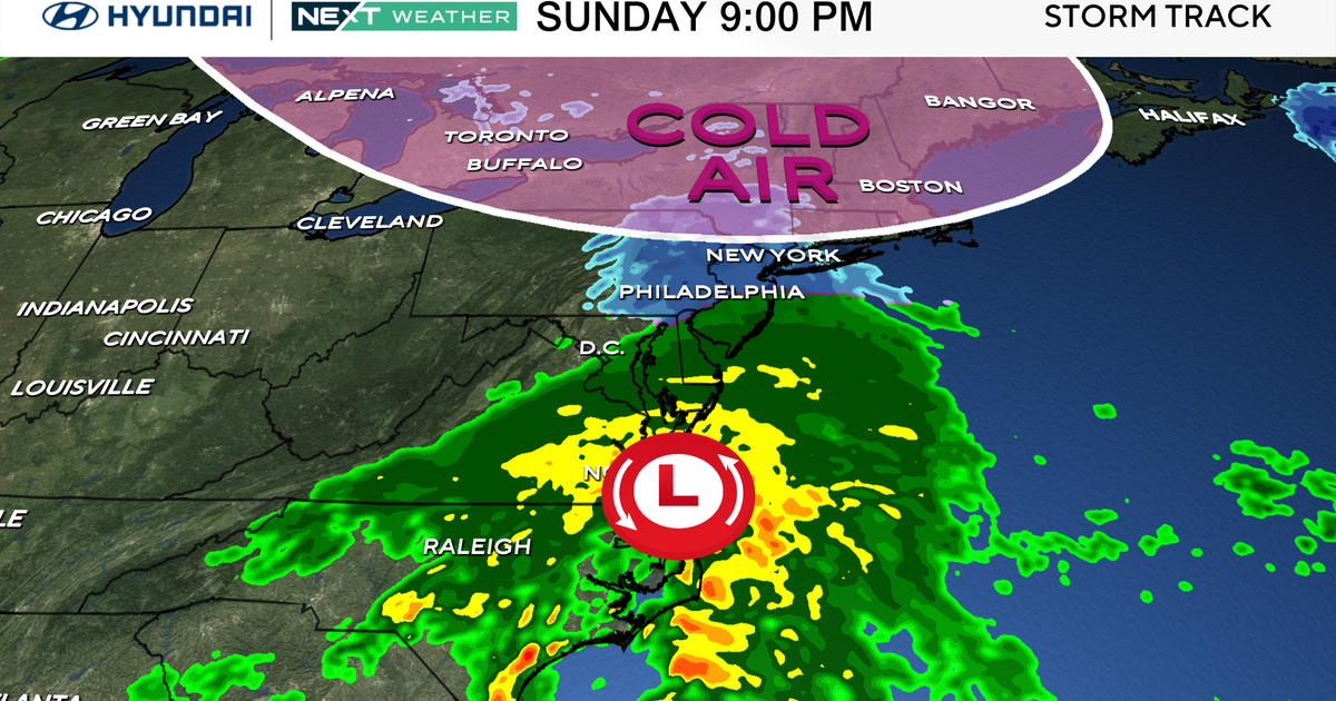
A powerful nor'easter moving up the east coast will help amplify the jet stream. Translation: the jet becomes very wavy. This wavy jet will allow cold air in Canada to spill south with a series of arctic fronts. The jet stream acts as the gate keeper. When the jet stream is far north, so is the cold air. When it dives far south, the cold air follows.
Back in December, we had everything stacked against us. We had a positive Arctic Oscillation, a powerful La Nina (which we still have) AND no blocking over Greenland. Since then, things have kind of shaken loose.
LAY IT ON ME, HOW COLD?
It's hard to say but the GFS and the Euro have our daytime highs near or below freezing by the middle of next week with lows in the teens. While that is really cold for Dallas, it doesn't even come close to what we saw last February when lows were below zero and highs barely out of the single digits. Now that's perspective.
SO WHEN WILL THIS FRIGHTENING FRIDID FORECAST COME TO FRUITION?
Right now it appears as though the first arctic front arrives sometime next Wednesday. That timing will fluctuate a little bit.
HEY Y'ALL, THE WEATHER BOY SAYS IT MIGHT SNOW (NUDGES FRIENDS SARCASTICALLY)
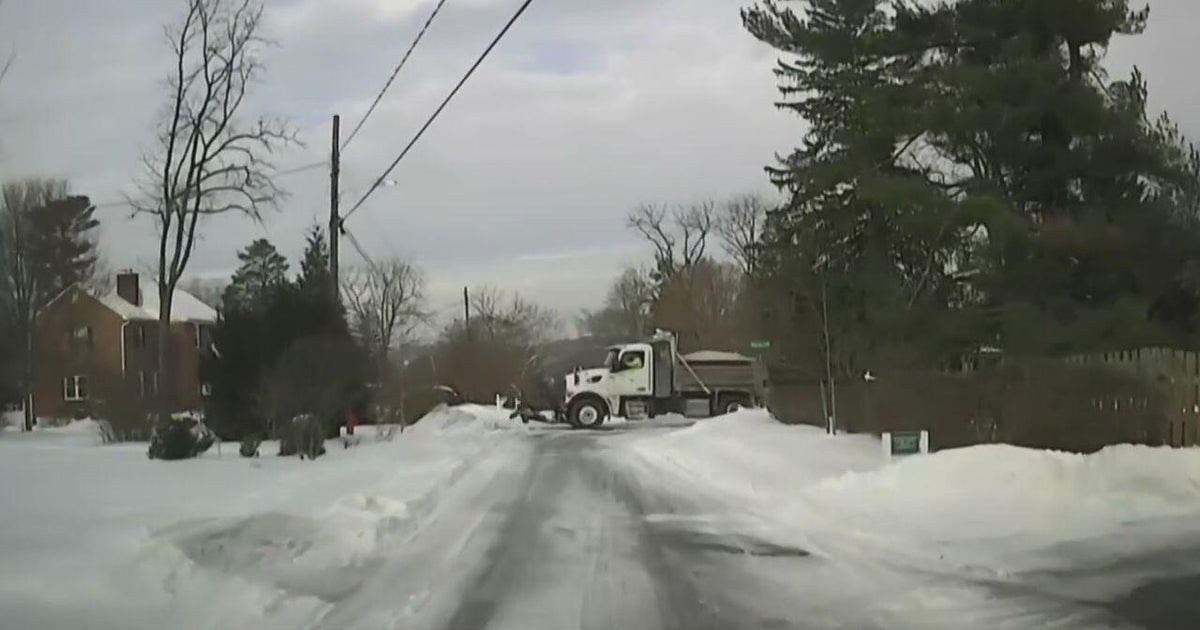
Ha! Oh that's hilarious. You know what, it just might snow—but it might not. I can't guarantee it right now but the models are fun to look at currently. It's something that I'll definitely be watching carefully because given how cold the air may be, there is potential for travel issues, if and only if, the current models play out. In the meantime, enjoy the nice weekend ahead.
WHEN WILL IT BECOME MORE CLEAR AS TO WHAT COULD HAPPEN?
Let's revisit this on Monday and I'll have a better idea for sure—possibly over the weekend so tune in!


