Foggy morning ahead for North Texas before a cool front moves in Wednesday

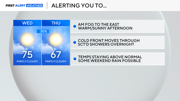
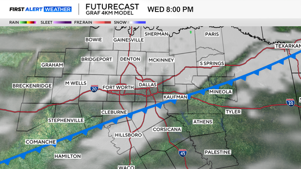
Wednesday will be another mild day across North Texas but there will be more cloud cover ahead of a cold front that moves through North Texas during the late afternoon hours. Low-end rain chances are forecast overnight Wednesday into Thursday.
North Texas will likely have some morning fog again Wednesday, particularly for areas east of I-35. It's not clear yet whether the fog will reduce visibility enough for a Dense Fog Advisory – especially as it relates to the metroplex - so we are holding off on a First Alert Morning declaration for now.
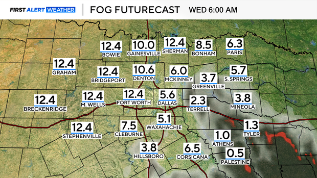

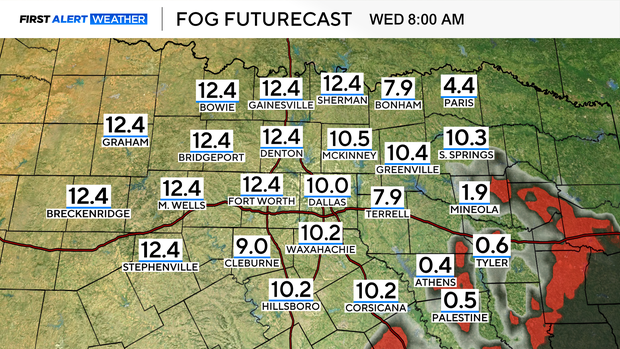
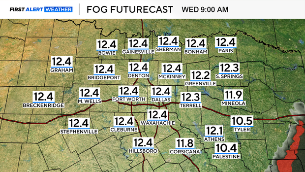
If we were to see some fog advisories issued Wednesday morning, it would likely be for our southeastern counties and shouldn't last past 10 a.m. But we will be tracking a cold front Wednesday that will increase cloud cover and bring some scattered showers overnight Wednesday into early Thursday for parts of North Texas.
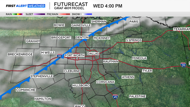
The cold front will be moving through the area during the afternoon/early evening Wednesday. Highs should still be well above normal and the scattered showers aren't expected to develop until after sunset, behind the front.
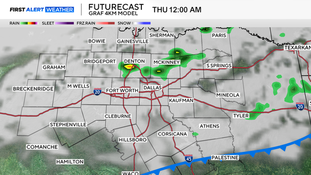
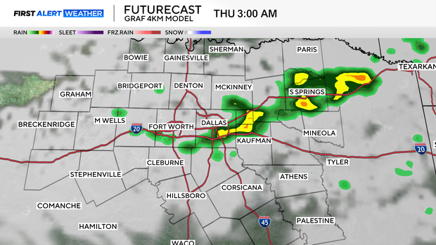
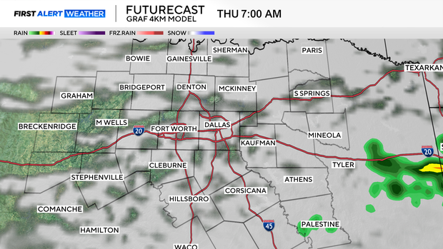
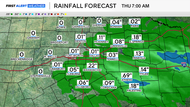
Not everyone will see rain, and those who do will see minimal accumulations at best.
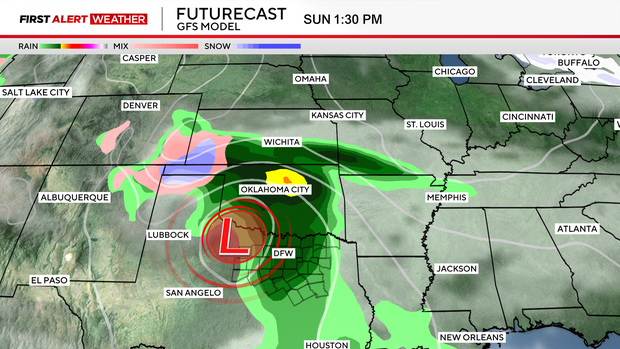
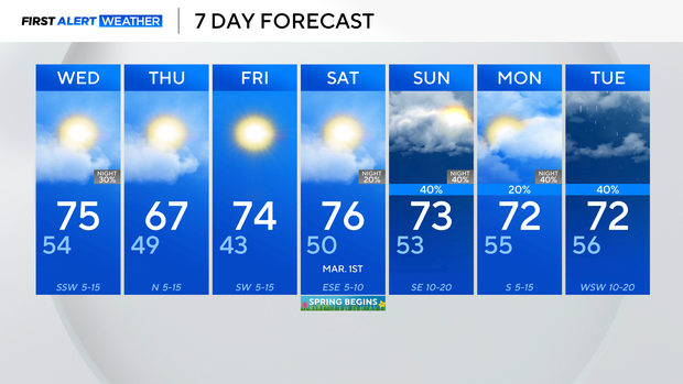
A low-pressure system will move over North Texas on Sunday and could bring widespread rain through the evening hours.