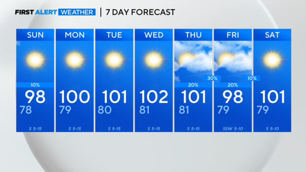
Triple-digit heat returns, with possible late-week rain relief, in North Texas
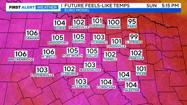
NORTH TEXAS – A brief and limited heat advisory is possible Sunday afternoon, with returning Gulf winds and humidity. Model projections indicate heat indices could rise by a degree or two.
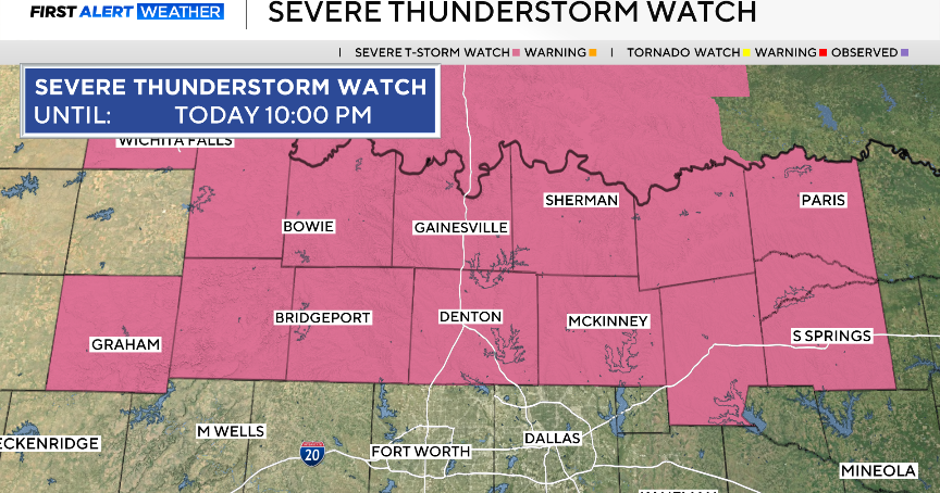
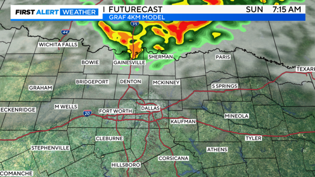
A small impulse could trigger storms in parts of Oklahoma overnight, potentially developing into a more complex system. We'll need to monitor radar overnight to see if they maintain strength while moving southeast. Model trends suggest this convection may weaken before reaching the metroplex. However, northern Collin and Denton counties could still see some activity early Sunday morning, particularly north of Highway 380.
This week, the heat dome will rebuild over the southern plains, bringing typical August heat. It may break later in the week.
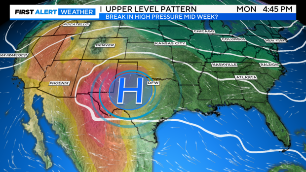
Model guidance suggests a gradual breakdown of the high-pressure ridge by Thursday or Friday, allowing a trough to dip into the southern plains. This could bring rain chances and a break from the heat.
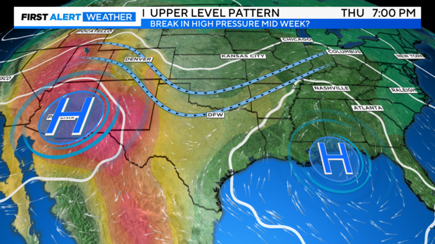
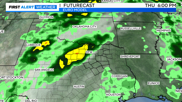
The European model indicates rain chances arriving late Thursday into Friday, associated with a trough. While we hope this trend remains consistent, rain chances are currently set at 20-30%.
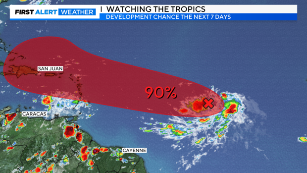
Invest AL98, located east of the Lesser Antilles, has a 90% chance of development. Most model tracks predict it will move northwest, avoiding the southeast U.S. coast. However, a few scenarios suggest it could slow and enter the far eastern Gulf of Mexico, though this is unlikely.
7-Day Forecast. Ouch!