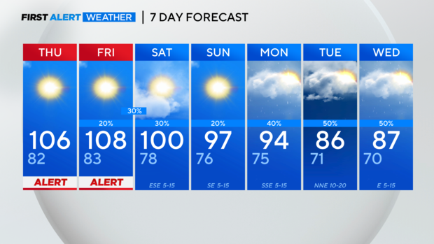
Tracking near-record temps through at least Saturday
NORTH TEXAS (CBSNewsTexas.com) - Our high so far Wednesday is 104°, tying the record set back in 2012.
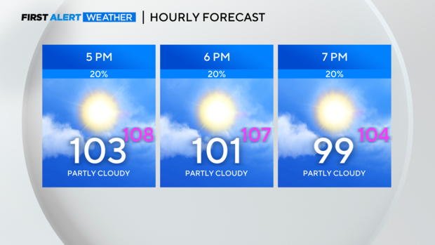
Wednesday evening will be very hot and we'll be watching for isolated showers and storms. If any storms can get going, lightning and gusty winds would be a concern.
The heat is the focus of the forecast over the next few days.
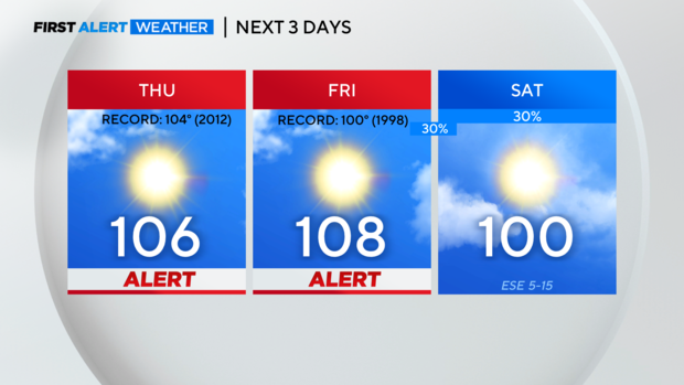
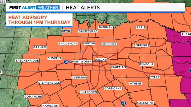
The heat advisory we are currently under has been extended until 1 p.m. Thursday.
Once we get into Thursday afternoon, a lot of the area will then transition to an excessive heat warning. This is what we expected and why we issued the weather alerts Tuesday.
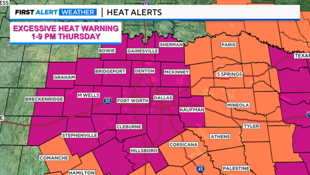
The excessive heat warning goes through at least 9 p.m. Thursday but will likely be extended into Friday. We do have storms in the forecast late Friday and aren't expecting heat alerts into the weekend.
Heading into next week though, this is what we want to see. Below normal temps and above normal rain chances.
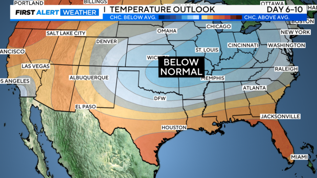
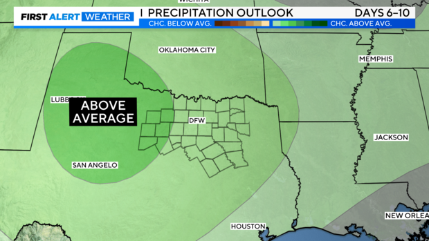
We'll get to the cooler, rainier weather soon!