Second Round Of Storms Moving Through North Texas
CURRENT ALERTS | WEATHER APP | RADAR | UPLOAD IMAGES/VIDEO
NORTH TEXAS (CBSDFW.COM) - Update 1:15AM - Line of thunderstorms now moving into Dallas County. Storms have produced high winds and severe storms in Tarrant County earlier and are expected to affect the same area of Dallas hit earlier by a Tornado. People in the warned areas are urged to take cover.
Read More | Tornado Touches Down, Leaves Damage Across North Dallas - Images/Video
Wind gusts of 67 MPH were reported at DFW airport.
At least one vehicle that had hydroplaned was spotted on I-635.
Update 12:51AM - Tornado Warning Collin County Cancelled.
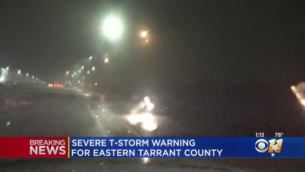
Dallas, Tarrant, Ellis, Johnson, Collin and Hunt CO's under Severe Thunderstorm Warning

Update at 12:19AM -- A second line of storms is moving through North Texas and is expected to impact the same area of Dallas that was hit by a Tornado just hours earlier.
The line of storms was pushing its way east at about 35 MPH and is associated with a cold front that was moving through North Texas.
The biggest concern with this line of storms is the possibility of 50 to 60 MPH winds according to radar.
CBS 11 Meteorologist Scott Padgett says that there is a possibility of more damage from 'strait line' winds.
There is also a possibility of tornadoes and quarter size hail from these storms.
Stay tuned to CBS 11 and CBSDFW.com for the latest.