The @CBSDFW Storm Team Blog: Near Record Highs Wednesday before the front arrives!
The long anticipated cold front is still on track to arrive Wednesday night. Along with the cooler temperatures, rain chances will arrive starting Wednesday evening.
TUESDAY EVENING
The cold front is currently moving thru the Central Plains. A large area of rain has developed across parts of Nebraska, Kansas, Iowa and northern Missouri.
ONE MORE HOT DAY
Wednesday will be hot. Near record highs on Wednesday. The record at DFW is 100 degrees. I'm expecting a high of 99. It will also be rather windy.
Tomorrow will be the last really hot day for awhile. Here's how the temperature trend looks the next few days.
RAIN CHANCES
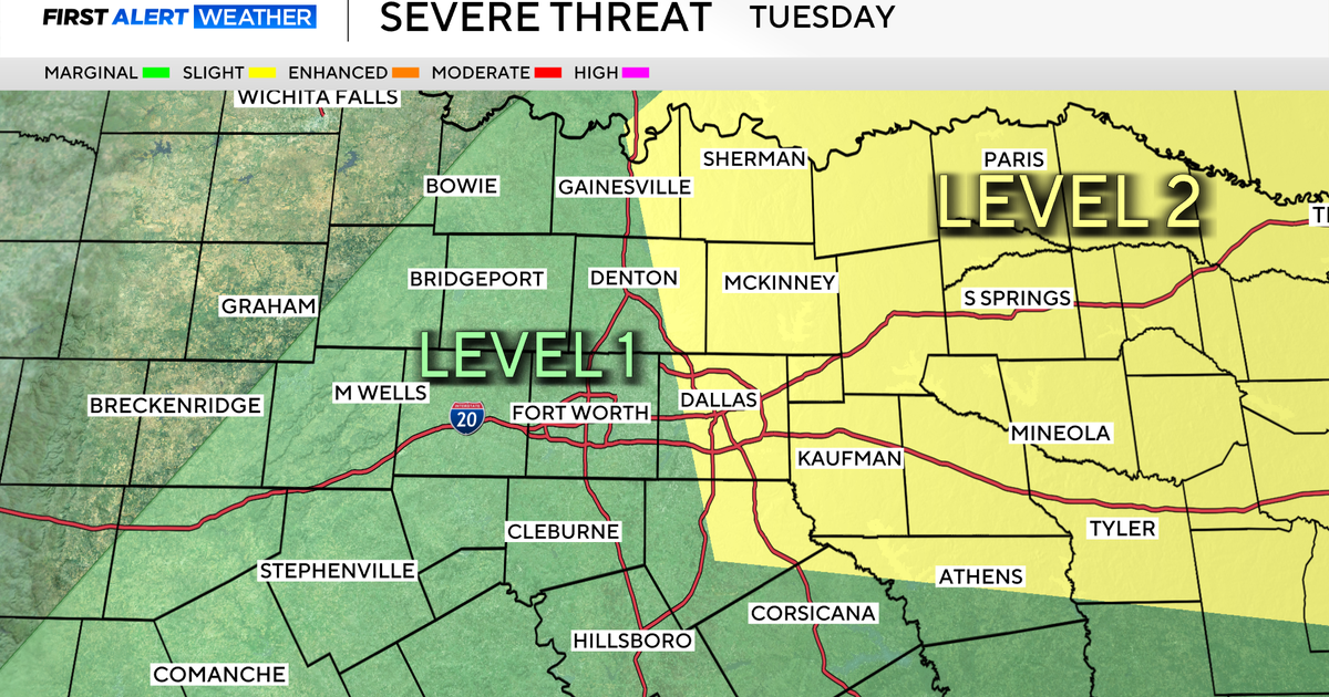
I'm not overly excited about everyone seeing a lot of rain with this system, but there will certainly be rain in parts of North Texas starting Wednesday night thru Friday. Here's a break down of those rain chances.
Wednesday Evening - There will be showers and thunderstorms that develop near the Red River in the evening. These will try and drift southward as we go into the night toward DFW.
Wednesday Night - Scattered showers and isolated thunderstorms will be likely with coverage increasing as we go into the morning hours on Thursday.
Thursday - Best rain chance will be in the morning on Thursday. Partly to mostly cloudy in the afternoon with temps cooler in the mid to low 80s.
Thursday Night - Rain chances look to perk up again after midnight Thursday into Friday morning.
Friday - Scattered rain and cooler temperatures. It looks like best rain chance will be during the morning hours. Temperatures will be cooler with highs in upper 70s and brisk north winds. First taste of Fall!
