Sunny Tuesday ahead in North Texas; Francine to bring midweek storms, unsettled weekend
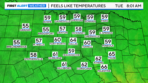
NORTH TEXAS — One more perfect morning before humidity and temps rise! Enjoy it!
As of the 5 p.m. EDT update from the National Hurricane Center, Francine is expected to reach hurricane status by midnight. Intensification is underway as she forms an eyewall around the core. Rapid intensification is likely once this occurs.
The latest forecast track upgrades Francine to just 11 mph shy of a Category 3 hurricane upon landfall in southwestern Louisiana. Given the trends in the Gulf, Category 3 status is likely, with at least 30 hours over warm, undisturbed waters. Francine is expected to attain major hurricane status by midday Wednesday.
Brownsville's radar site shows an eye forming at the surface, about 120 miles offshore. This indicates intensification is underway and should accelerate soon, likely during the diurnal maximum parts of the cycle.
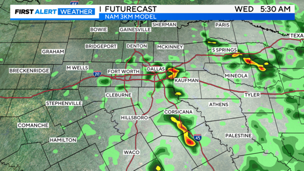
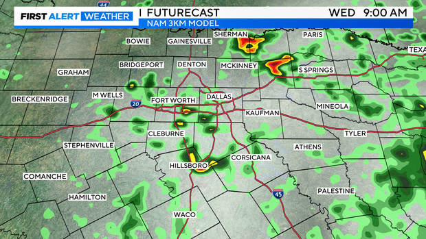
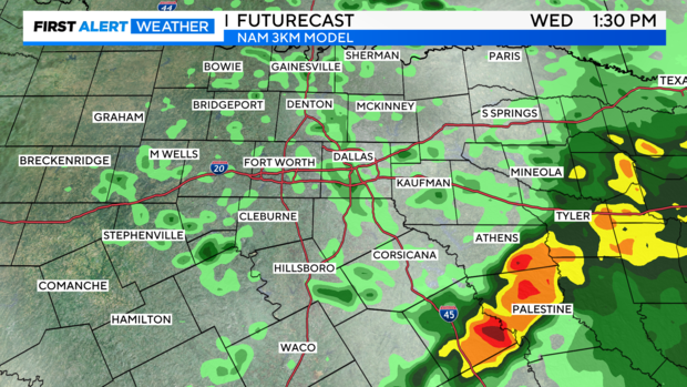
For North Texas, the Futurecast shows isolated cloud cover, followed by pop-up showers and storms drifting in from the east/southeast as early as Wednesday morning. Although not widespread, any lingering showers or storms could bring brief heavy rainfall.
By late Wednesday into Thursday morning, we think this storm will be racing out northeast, due to the powerful jet stream.
7-day: Enjoy one more beautiful day before the heat is back on.
