Strong cold front moves through overnight

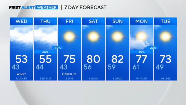
NORTH TEXAS - Get ready for a blast of winter temperatures again as our temperatures go from highs in the upper 70s to only the mid-50s Wednesday afternoon.
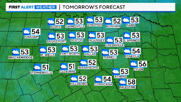
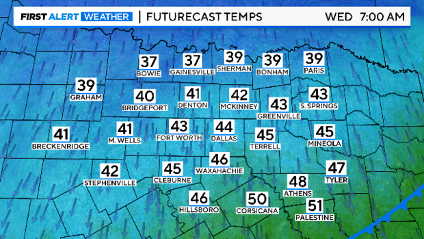
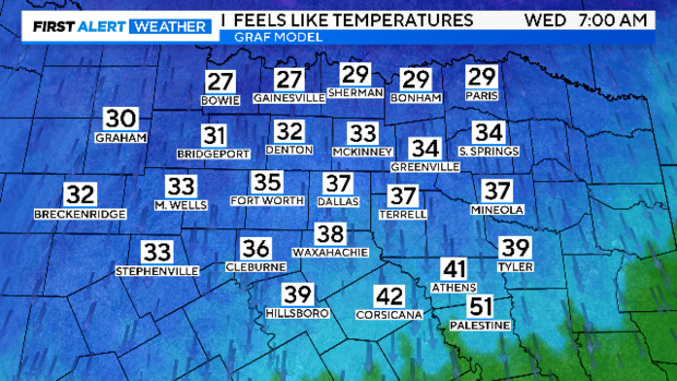
A strong cold front moves through North Texas overnight and our temperatures drop to the 30s to 40s when you wake up on Wednesday morning.
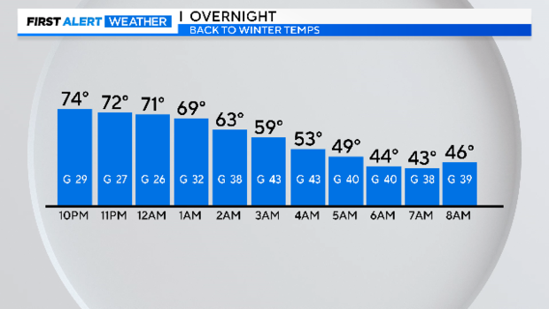
However, the winds will be gusting to near 35 mph and if you forget your coat, you will quickly wish you had it on. The temperatures will feel like the 20s to 30s. Yes, we are talking wind chills again and you need your hot cocoa, coffee and winter wear!
There is a small chance of a few showers on Thursday as a bit of energy comes out of northwest Mexico and Arizona. With the isentrophic life, we will see our rain coverage at 20-40% coverage but still not a washout in the forecast.
If you liked the warmer temps, don't worry because this weather whiplash continues as our temps then warm back into the 70s on Friday and this weekend... back into the 80s!
A trough of low pressure digs into the West United States allowing our surface flow to be southerly which aids in warming us above average. That same upper trough then shifts east into the plains toward Sunday into Monday increasing our clouds and our rain chances starting next week.