Storms on the way in North Texas? Rain chances rise this week
NORTH TEXAS -- First things first, rain on the radar!
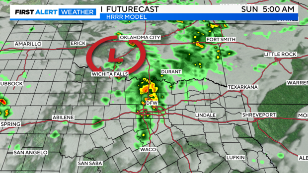
A few thunderstorms are trying to expand to our northwest as a result of a quick impulse diving through Oklahoma. This could bring some showers and thunderstorms into the Metroplex to start our Sunday. I wouldn't mind waking up to some thunder!
Isn't that the best?
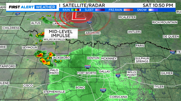
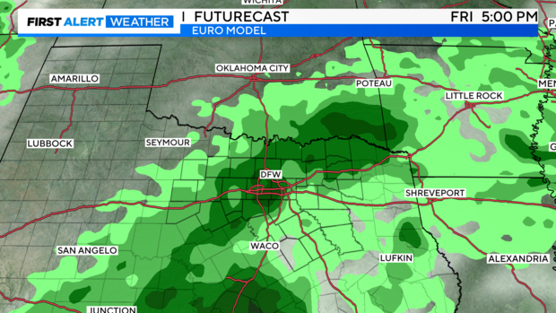
Here's one of the higher-resolution models showing some activity proliferating ahead of this impulse tomorrow and maybe some rumbles of thunder.
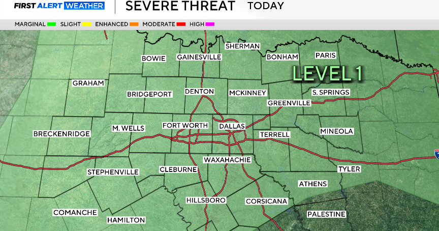
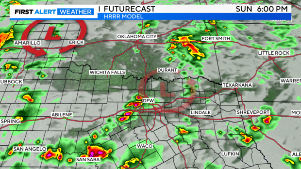
A few storms could also fire in DFW, and a few with gusty winds, Sunday afternoon and evening, but I'm not worried about a widespread severe threat. At most, some very localized flooding is possible, but only if storms hang around for a while, perhaps along the I-20 corridor late tomorrow evening. Timing will depend on a small frontal boundary arriving from Oklahoma as well.
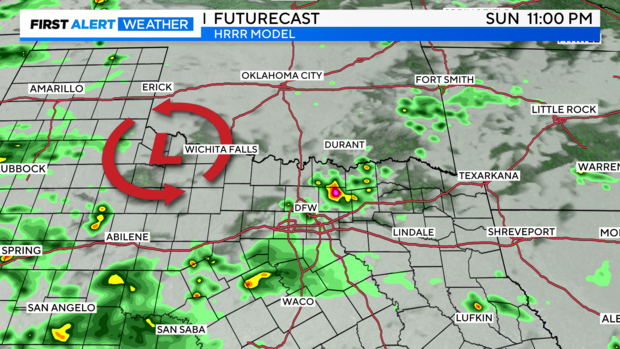
Finally, some models try to keep activity in the area through late Sunday evening, but it appears to be very isolated. I doubt much activity will last long after sundown.
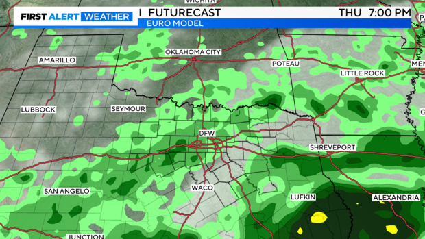
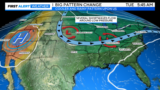
Next week, the chances of rain appear better near the end of the week, but we'll see where the trends go by Thursday.
The upper-level high pressure remains to our west, allowing the jet stream to continue to bring rain chances and slightly cooler air for us.
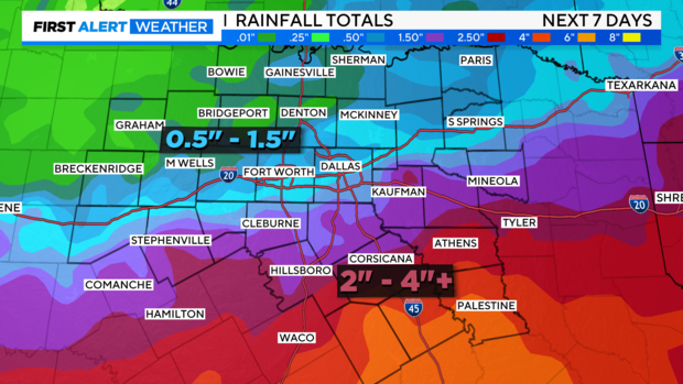
Rainfall projections will vary, but the broad consensus still shows the highest amounts trending south and east, and a distinct difference divided N/S along the I-20 corridor.
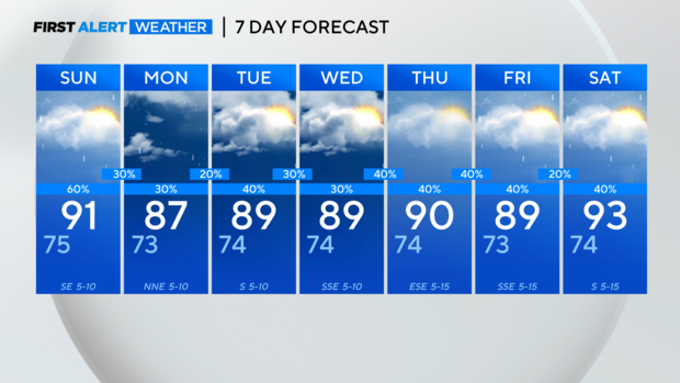
7-Day looks pretty darn good for July.
Have a great weekend!