Storms linger around North Texas Wednesday
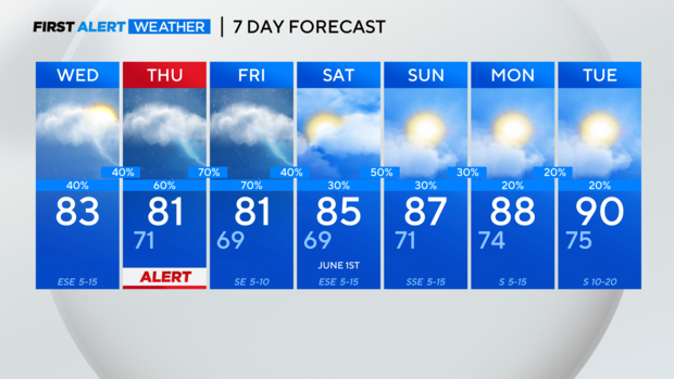
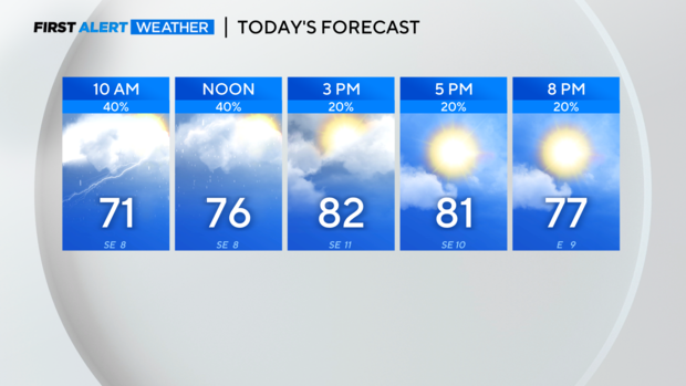
NORTH TEXAS – Wednesday afternoon and evening are looking drier with a mix of sun and clouds and temperatures in the low 80s – a nice break from the oppressive heat.
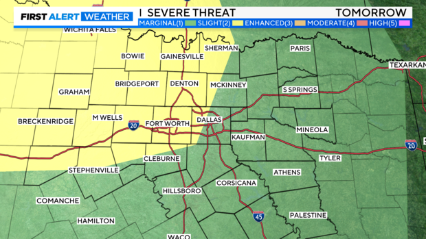
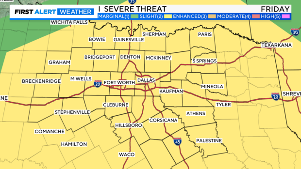
A weather alert has been issued for Thursday due to the potential for more severe storms. Timing of the storms is very tricky but right now, it looks like we will have our first round Thursday morning followed by another late Thursday into Friday morning.

Like Tuesday, the morning convection will impact the intensity and track of the late-day convection. The main threats are large hail, damaging winds spin-up and flooding but a spin-up tornado can't be ruled out.
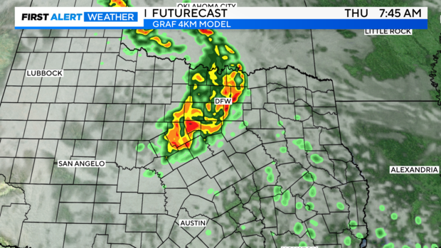
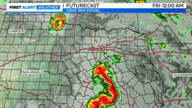
Parts of North Texas are at a level 2, Slight Risk of severe storms both Thursday and Friday. The weather alert has been extended into Friday morning.
Rain and storm chances will continue into the weekend but there should be longer stretches of dry time in between rounds of storms.
Saturday night into Sunday morning we are monitoring closely for a round of potentially severe storms.
Temperatures will heat back up at the start of next week.